The Tanner Trailhead at Grand Canyon South Rim represents one of the most challenging and spectacular hiking routes in North America. Located at Lipan Point, this demanding trail descends 4,650 feet through multiple geological layers, offering intrepid hikers an unparalleled journey from the canyon rim to the Colorado River. Experienced trekkers will encounter steep switchbacks, stunning panoramic vistas, and a true wilderness experience that tests physical endurance and navigation skills.
What Makes Tanner Trailhead Unique?

Tanner Trailhead offers hikers an extraordinary Grand Canyon experience characterized by:
- Extreme Difficulty Level: Rated as one of the most challenging developed trails
- Geological Diversity: Traverses multiple rock formations
- Minimal Trail Maintenance: Requires advanced hiking skills
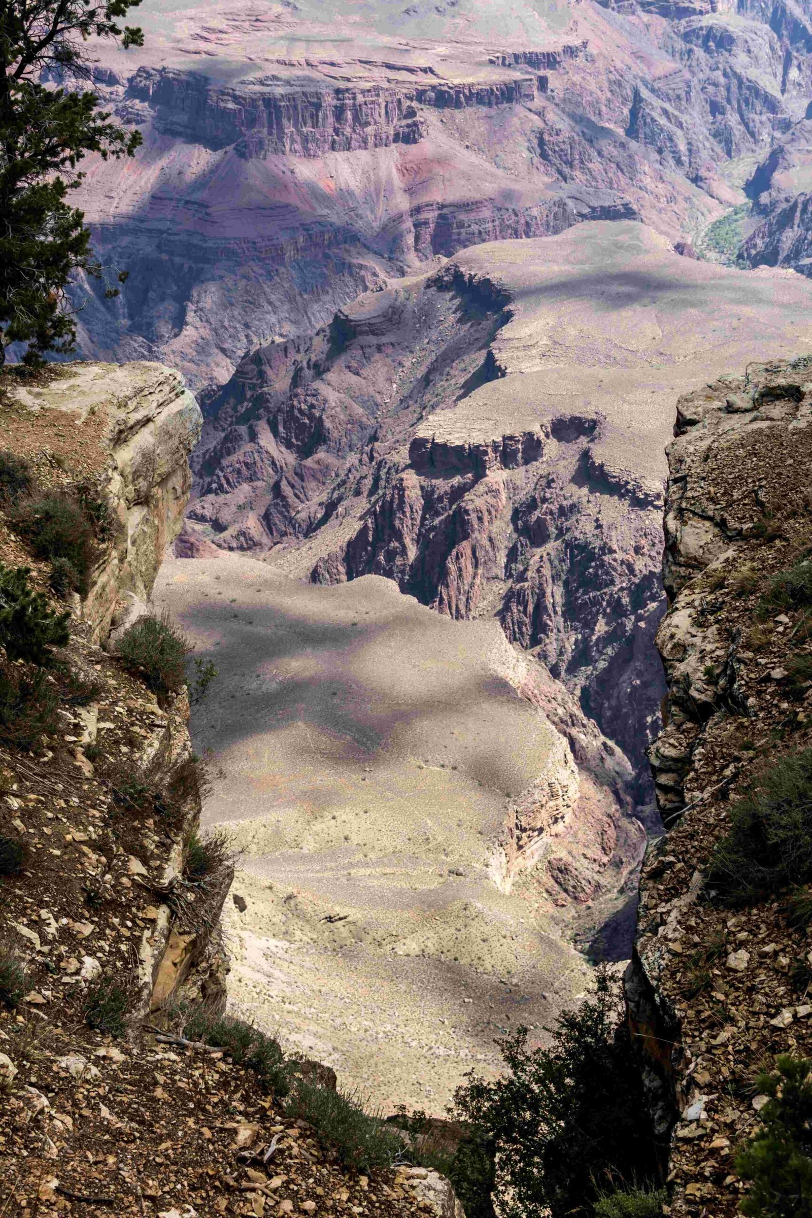
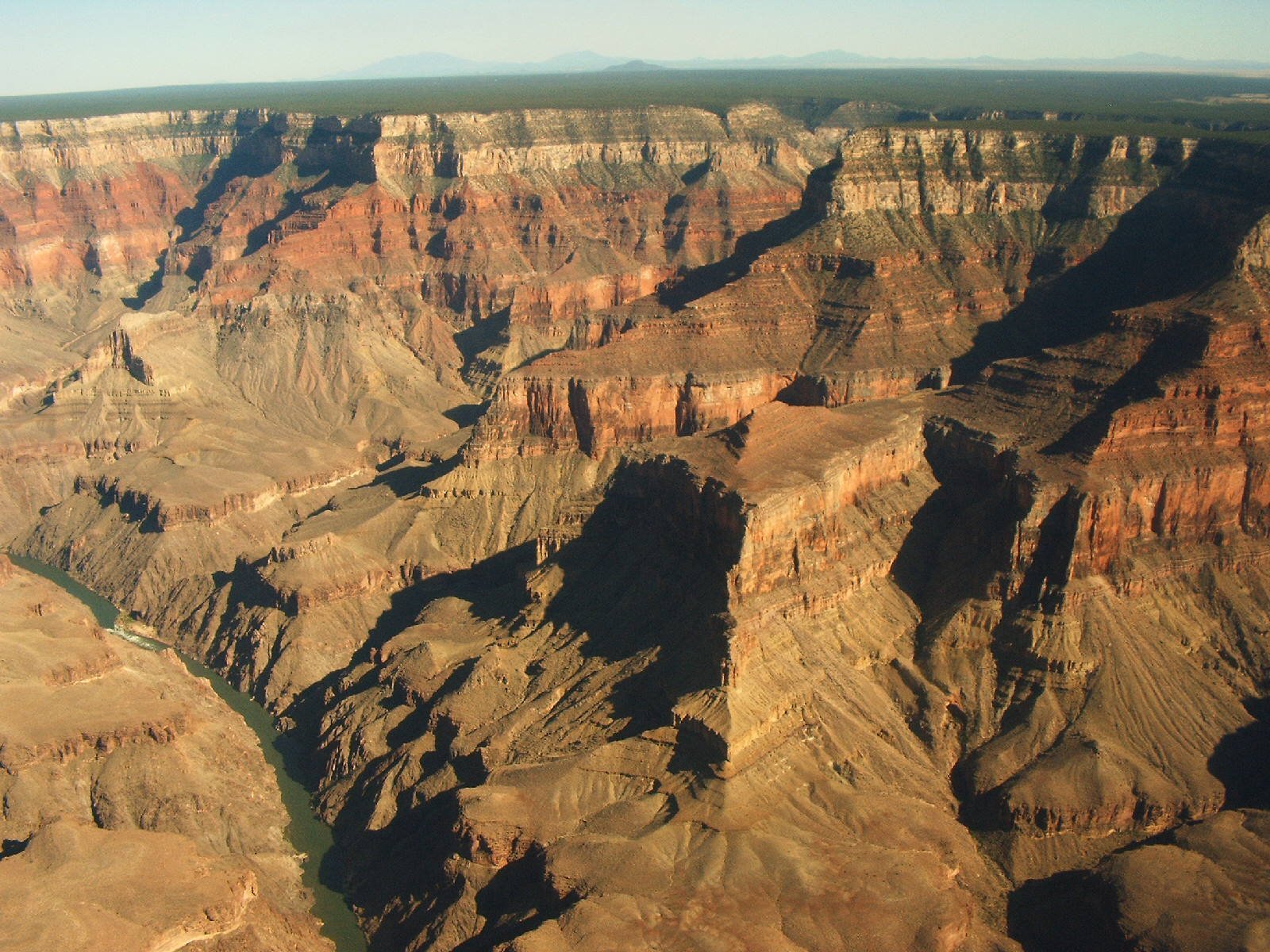
- Spectacular Scenic Views: Panoramic vistas of inner canyon landscapes
How to Access Tanner Trailhead?

Location Details
- Precise Location: Lipan Point, Desert View Drive (Highway 64)
- Distance from Grand Canyon Village: 23 miles east
- Parking: Small dedicated parking lot available
Recommended Vehicle Access
- Drive east from Grand Canyon Village on Highway 64
- Follow signs to Lipan Point
- Park in the designated trailhead parking area
What Are the Trail Characteristics?
Trail Specifications
| Parameter | Details |
|---|---|
| Total Distance | 18 miles round trip |
| Elevation Change | 4,650 feet |
| Difficulty | Extremely Strenuous |
| Recommended Skill Level | Advanced Hikers |
Key Geological Zones
- Supai Formation
- Redwall Limestone
- Muav Limestone
- Tapeats Sandstone
What Should Hikers Prepare?
Essential Gear Checklist
- Water: Minimum 4-5 liters per person
- Sun Protection: Wide-brimmed hat, sunscreen
- Navigation Tools: Topographic map, GPS device
- Emergency Supplies: First aid kit, emergency shelter
- Trekking Poles: Recommended for steep descents
What Are the Major Challenges?
Physical and Environmental Obstacles
- Extreme temperature variations
- No reliable water sources
- Steep, loose rocky terrain
- Limited shade exposure
- High elevation changes
What Are the Best Photography Locations?
Recommended Viewpoints
- Seventyfive Mile Creek Saddle
- Palisades of the Desert Overlook
- Redwall Limestone Rim
- Colorado River Approach
Safety Recommendations
Critical Hiking Guidelines
- Always inform park rangers about your hiking plans
- Check weather conditions before departure
- Carry emergency communication devices
- Start early in the morning
- Assess personal fitness level realistically
When to Hike?
Optimal Hiking Seasons
- Late September to early November
- Mid-March to early May
- Avoid summer months (extreme heat)
- Winter requires additional technical gear
Pro Tip: Consult Grand Canyon National Park rangers for current trail conditions and personal hiking recommendations.
Reference:
– Grand Canyon National Park Official Site
– National Park Service Trail Information
– Grand Canyon Hiking Resources

