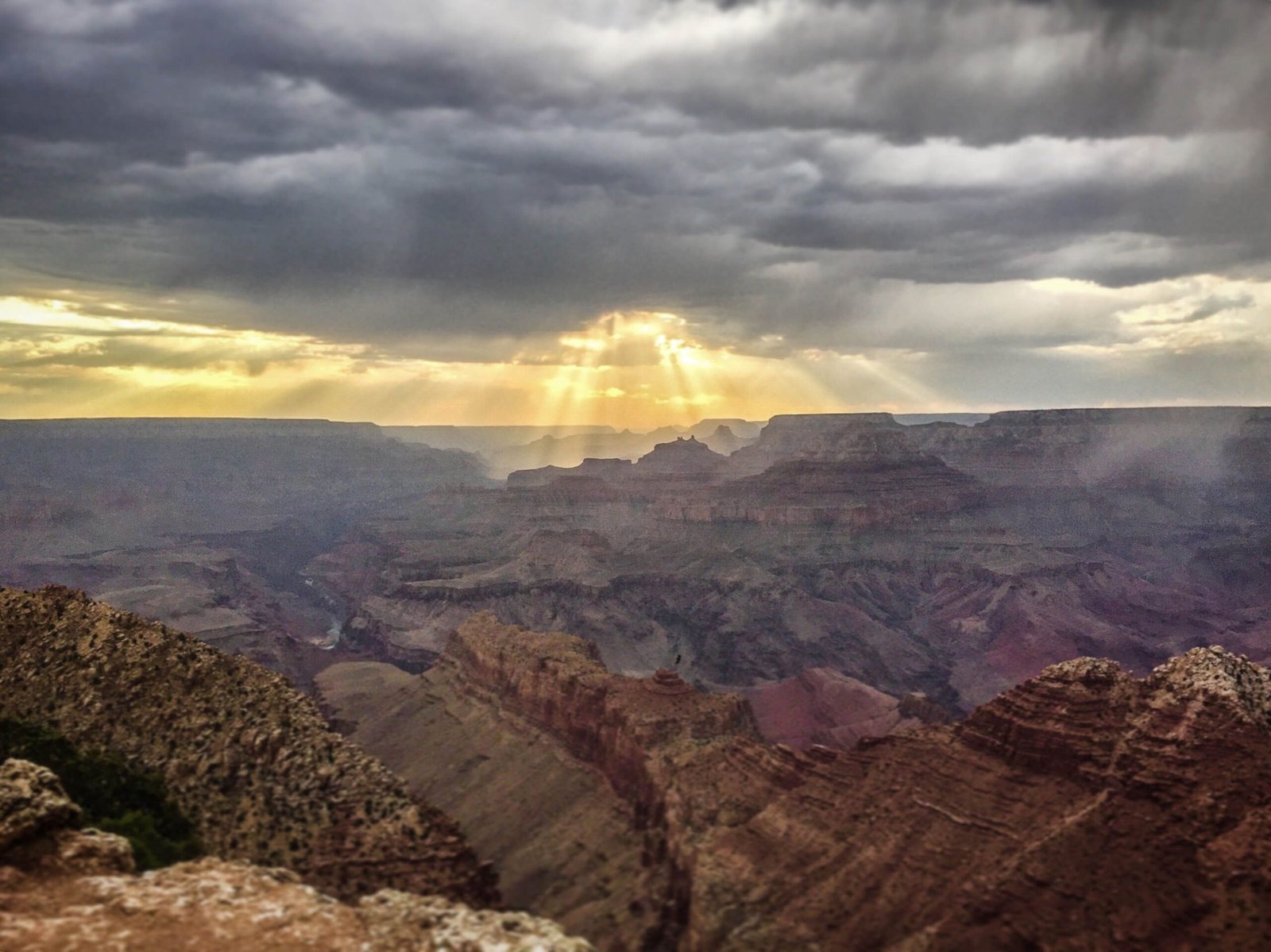
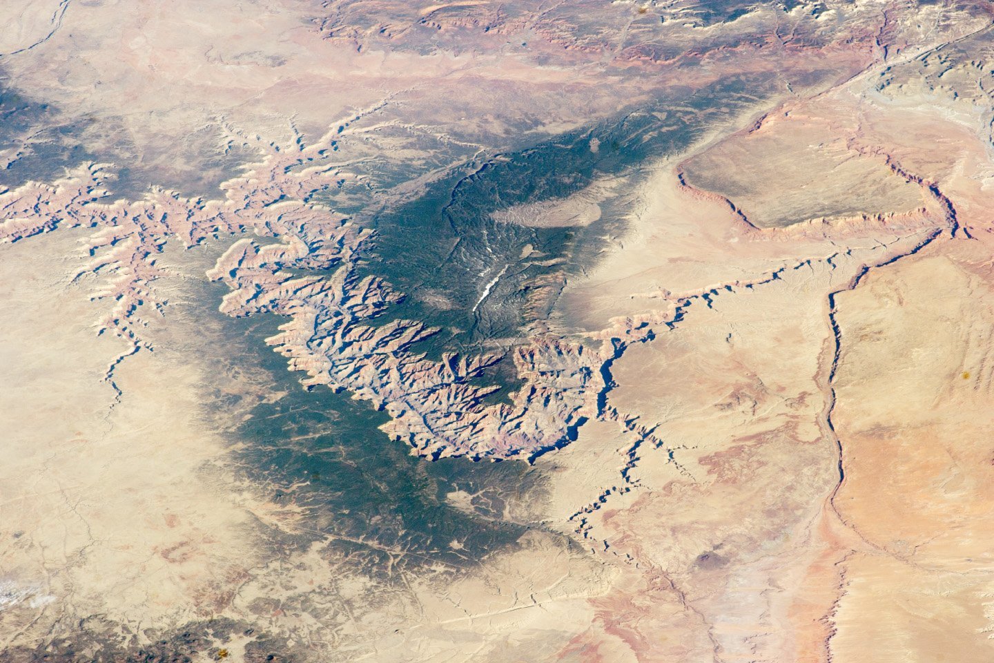
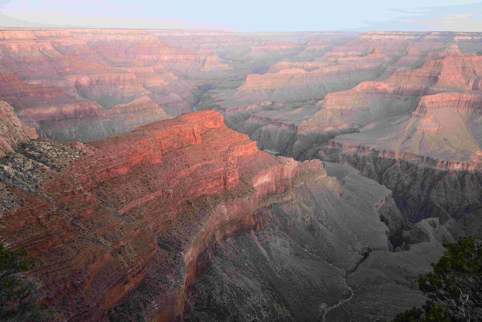
The Thunder River Trail represents one of the most challenging and spectacular backcountry routes in Grand Canyon National Park, offering adventurers a grueling yet magnificent 27.9-mile loop that descends nearly 4,000 feet through diverse geological formations, revealing hidden springs, dramatic waterfalls, and unparalleled canyon landscapes. Hikers will traverse steep switchbacks, cross barren plateaus, and experience some of the most remote and pristine wilderness in the American Southwest.
What Makes Thunder River Trail Unique?

The Thunder River Trail is not just another hiking path—it’s an extraordinary journey through geological time and extreme terrain. This trail offers hikers an unparalleled opportunity to explore the Grand Canyon’s most rugged and least-traveled regions.
Why Is the Trail Considered Challenging?
The trail presents multiple challenges that demand physical fitness and backcountry expertise:
- Steep Elevation Changes: Descending 4,000 feet from Monument Point
- Rocky Terrain: Multiple switchbacks through complex geological layers
- Extreme Weather Conditions: Intense heat in Surprise Valley
- Limited Water Sources: Requires careful planning and water management
Where Does the Thunder River Trail Begin?

| Location | Details |
|---|---|
| Trailhead | Monument Point |
| Access Road | Forest Road 292A |
| Nearest Landmark | Kaibab Lodge |
| Total Loop Distance | 27.9 miles |
What Preparation Is Necessary?
Successful navigation of the Thunder River Trail requires:
- Advanced backcountry hiking experience
- Excellent physical conditioning
- Comprehensive water and gear management
- Backcountry permit from North Rim Back Country Office
- Detailed topographical maps
- Emergency communication devices
What Natural Wonders Will Hikers Encounter?
The trail offers extraordinary natural features:
- Thunder River Spring: Dramatic waterfall emerging directly from Redwall Limestone
- Tapeats Creek: Scenic water corridor leading to Colorado River
- Surprise Valley: Stark, exposed landscape representing canyon’s geological complexity
- Esplanade: Broad plateau offering panoramic canyon views
How Should Hikers Manage Water and Camping?
| Water Strategy | Camping Guidelines |
|---|---|
| Carry significant water supply | Use designated campsites |
| Filter from Thunder River/Tapeats Creek | Obtain required backcountry permit |
| Plan water cache points | Limit group sizes |
| Bring water treatment methods | Follow Leave No Trace principles |
What Safety Considerations Exist?
Critical safety factors include:
- Extreme temperature variations
- Limited rescue accessibility
- Potential for rapid weather changes
- Challenging terrain with significant fall risks
- Need for comprehensive emergency preparedness
What Permits and Regulations Apply?
Hikers must:
– Obtain backcountry permit from National Park Service
– Follow strict camping and environmental regulations
– Register travel plans with park authorities
– Carry appropriate safety and navigation equipment
Final Trail Insights
The Thunder River Trail represents more than a hike—it’s an immersive journey through one of America’s most spectacular wilderness landscapes. Proper preparation, respect for the environment, and a spirit of adventure are essential for those seeking to experience this extraordinary trail.
Reference:
– Grand Canyon Trust
– National Park Service
– Wildland Trekking

