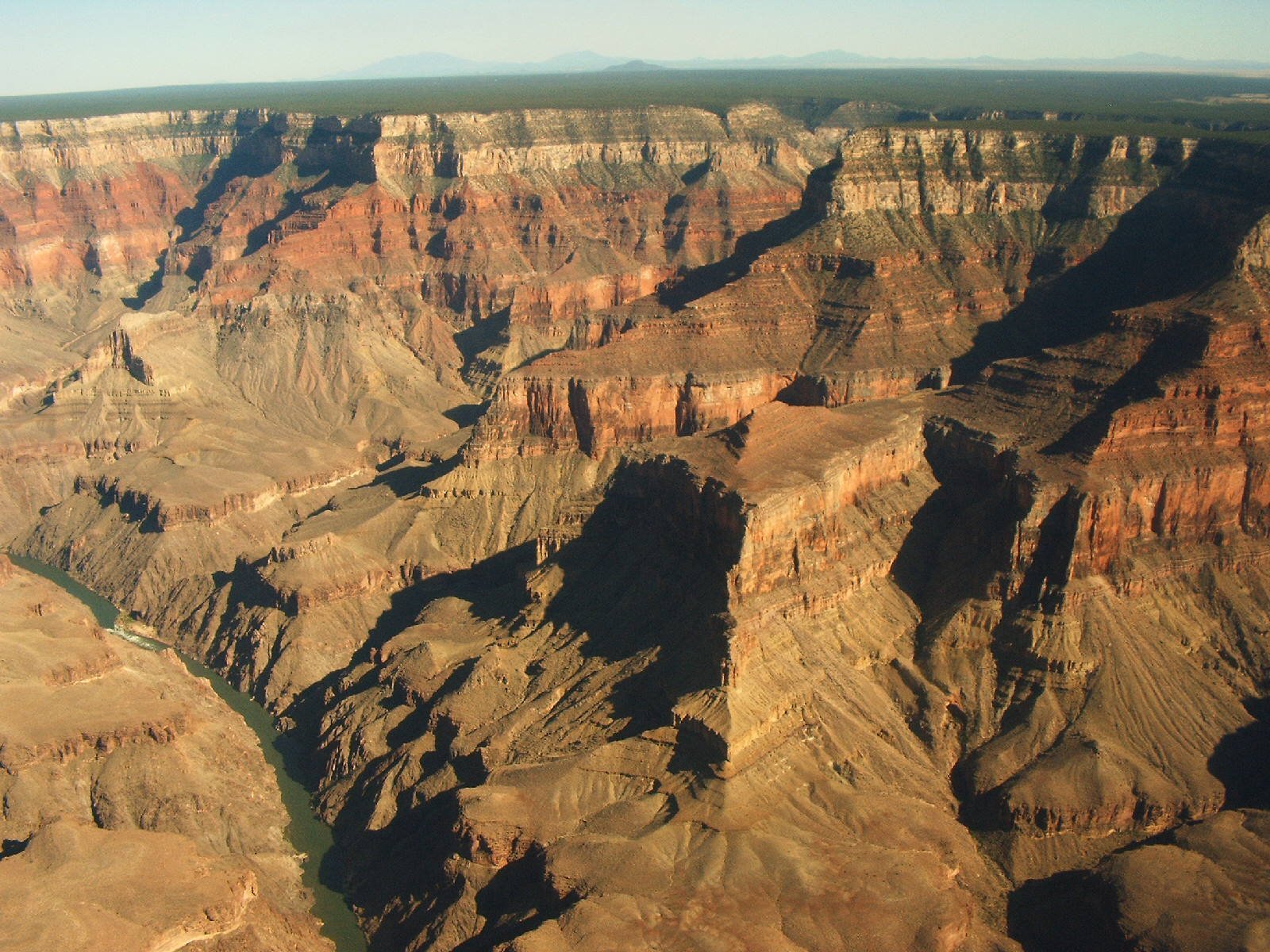
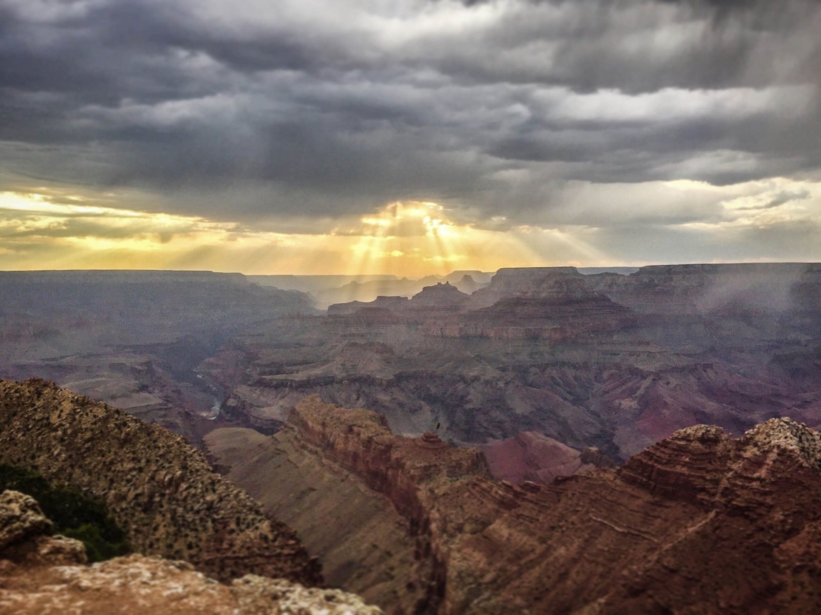
Horseshoe Bend and Grand Canyon are two iconic southwestern landscapes separated by approximately 140 miles, offering travelers a unique opportunity to explore remarkable geological formations within Arizona’s stunning terrain. Located in different national recreation areas, these destinations provide distinct yet interconnected natural experiences for adventurers seeking breathtaking panoramic views and geological wonders.
What Is the Exact Distance Between Horseshoe Bend and Grand Canyon?

The distance between Horseshoe Bend and Grand Canyon varies depending on specific rim locations:
| Location | Distance | Travel Time |
|---|---|---|
| South Rim | 140 miles | 2-3 hours |
| North Rim | 140 miles | 3-4 hours |
How Do Travelers Navigate Between These Destinations?
Travelers have multiple route options when traveling between Horseshoe Bend and Grand Canyon:
- Primary Route via Desert View Drive
- Start from Horseshoe Bend
- Head north on US Highway 89
- Connect to AZ-64 (Desert View Drive)
-
Estimated travel time: 1 hour 45 minutes
-
Alternative Route via Flagstaff
- Head south on US-89
- Transit through Flagstaff
- Take AZ-180 towards Grand Canyon
- Estimated travel time: 4-5 hours
What Geographic Features Separate These Locations?
Several geographical elements characterize the landscape between Horseshoe Bend and Grand Canyon:
- Glen Canyon National Recreation Area
- Colorado River watershed
- Diverse desert and plateau terrain
- Elevation changes ranging from 3,500 to 7,000 feet
What Should Travelers Prepare Before Traveling?

Essential preparation recommendations include:
- ✅ Check current road conditions
- ✅ Verify seasonal accessibility
- ✅ Carry sufficient water and emergency supplies
- ✅ Have updated GPS or physical maps
- ✅ Confirm vehicle fuel capacity
Are There Recommended Stopping Points?
Recommended intermediate stops include:
- Page, Arizona
- Carl Hayden Visitor Center
- Glen Canyon Dam
- Lake Powell scenic overlooks
What Unique Characteristics Define Each Location?
Horseshoe Bend:
– 1,000-foot canyon drop
– Iconic 270-degree river meander
– Part of Glen Canyon National Recreation Area
Grand Canyon:
– 277-mile long canyon
– Up to 18 miles wide
– Maximum depth of 6,093 feet
How Can Travelers Maximize Their Experience?
Travel tips for optimal exploration:
- Start early in the morning
- Check weather forecasts
- Bring appropriate hiking gear
- Purchase necessary park passes
- Allow flexible travel time
Practical Travel Insights
- Average driving speed: 45-55 mph
- Best travel seasons: Spring and Fall
- Recommended vehicle: High-clearance, all-wheel drive
- Cellular coverage: Intermittent
Final Navigation Recommendations
- Use multiple navigation tools
- Carry physical maps as backup
- Stay hydrated
- Respect local environmental regulations
Pro Tip: Consider booking guided tours that connect these destinations for a comprehensive southwestern landscape experience.
Reference:
– National Park Service
– Arizona Tourism Board
– Glen Canyon National Recreation Area

