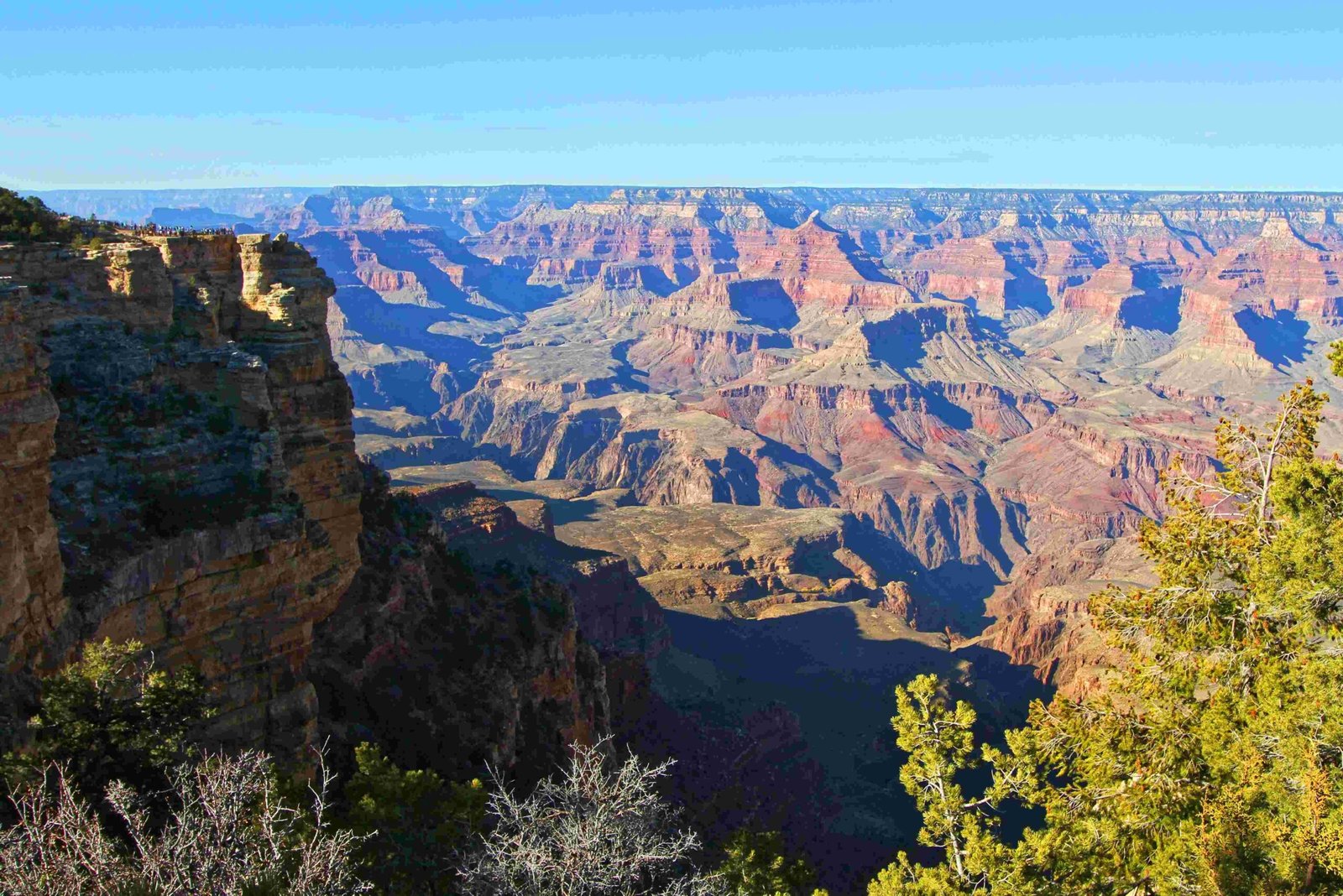
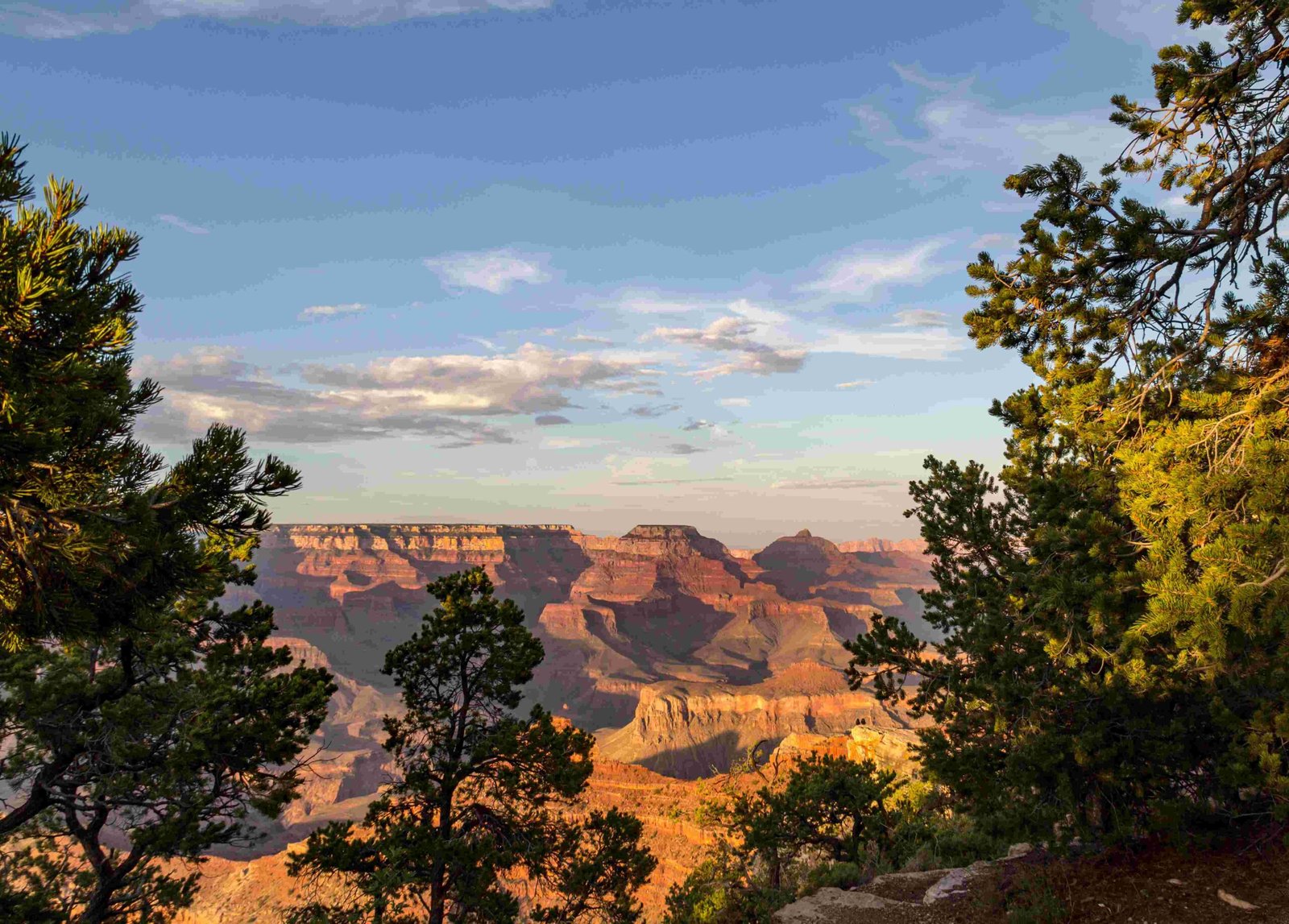
The Grand Canyon represents a complex geological landscape that partially intersects the Basin and Range province, with its western boundary specifically marked by the Grand Wash fault line. While predominantly situated within the Colorado Plateau, the canyon’s western extremity demonstrates significant geological interactions with the Basin and Range region’s distinctive extensional tectonic characteristics.
What Defines the Basin and Range Region?

The Basin and Range province is a distinctive geological region characterized by alternating mountain ranges and valley basins, stretching across Nevada, Utah, Arizona, and parts of California. This region emerged from extensive crustal stretching and thinning during the Cenozoic era.
Where Does the Grand Canyon Intersect with Basin and Range?

Geographical Boundary Characteristics
| Region | Characteristics | Intersection Point |
|---|---|---|
| Colorado Plateau | Stable geological platform | Eastern Grand Canyon |
| Basin and Range | Extensional tectonic province | Western Grand Canyon |
Key Geological Evidence
The western terminus of the Grand Canyon provides compelling evidence of Basin and Range influence:
- Grand Wash Fault: Marks the precise boundary between Colorado Plateau and Basin and Range
- Tectonic Deformation: Normal faulting and horst-graben structures
- Bright Angel Fault: Prominent example of regional tectonic activity
How Do Geological Formations Reveal Regional Interactions?
Rock Composition Insights
The Grand Canyon’s geological record reveals complex interactions:
- Vishnu Basement Rocks (1.75-1.73 billion years old)
- Metasedimentary and metavolcanic formations
- Exposed at canyon’s bottom
-
Indicate ancient tectonic processes
-
Paleozoic Sedimentary Layers
- Represent marine and near-shore environments
- Thickness ranges 800-1500 meters
- Demonstrate regional geological evolution
What Tectonic Processes Shaped the Region?
Extensional Tectonics
The Basin and Range province emerged from significant crustal stretching, characterized by:
- East-west directional extension
- Widespread normal faulting
- Systematic block movements
- Gradual lithospheric thinning
Can Visitors Explore These Geological Transitions?
Recommended Exploration Strategies
- Ranger-Led Geological Programs
- Specialized Geological Tours
- Rim Trail Interpretive Exhibits
- Professional Guided Expeditions
Scientific Significance
The Grand Canyon’s intersection with the Basin and Range region offers researchers unprecedented insights into:
- Tectonic plate movements
- Crustal deformation processes
- Long-term geological transformations
Conclusion
While not entirely within the Basin and Range province, the Grand Canyon’s western boundary provides a fascinating geological interface demonstrating complex regional interactions.
