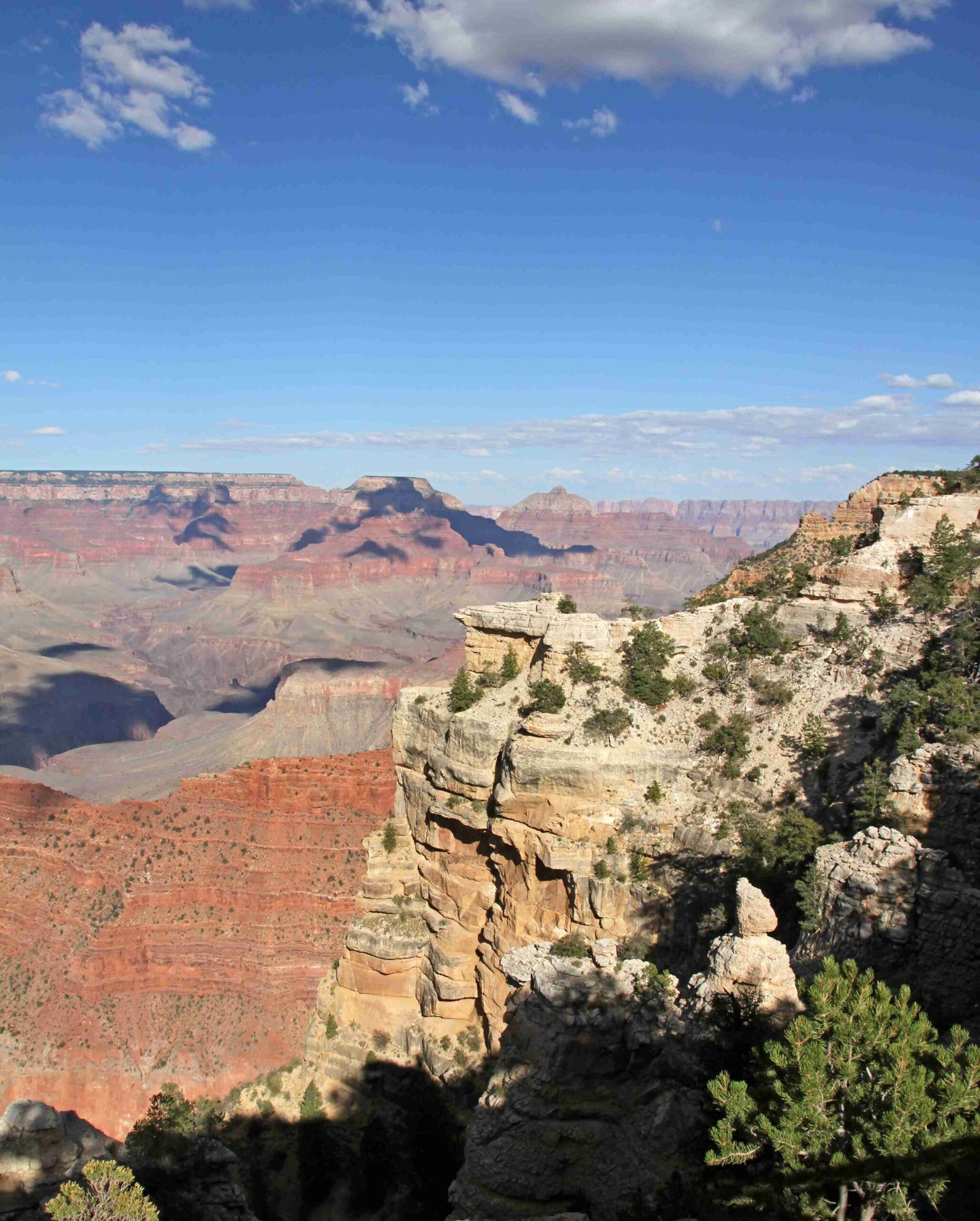
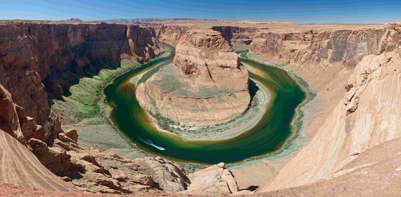
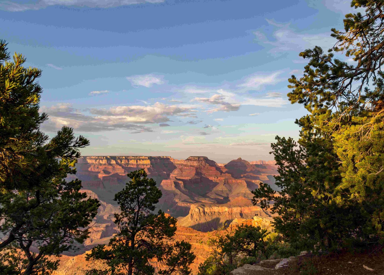
The Colorado Plateau stands as the quintessential major US landform that dramatically includes the Grand Canyon, a breathtaking geological marvel spanning 277 miles across Arizona. This expansive plateau represents a massive uplifted region characterized by flat plains, broad mesas, and spectacular canyon landscapes, with the Grand Canyon serving as its most iconic geological feature, exposing nearly 1.7 billion years of Earth’s complex geological history.
What Defines the Colorado Plateau?

The Colorado Plateau is a massive physiographic region covering approximately 130,000 square miles across Arizona, Utah, Colorado, and New Mexico. This unique landform distinguishes itself through several remarkable characteristics:
Geological Composition
- Covers parts of four southwestern United States
- Elevation ranges between 5,000 to 11,000 feet above sea level
- Characterized by horizontal sedimentary rock layers
- Minimal tectonic deformation compared to surrounding mountain ranges
Unique Landscape Features
- Extensive flat-topped mesas
- Deep canyon systems
- Minimal vegetation in many regions
- Exposed geological strata
How Did the Grand Canyon Form Within the Colorado Plateau?

The formation of the Grand Canyon within the Colorado Plateau represents a complex geological process involving multiple factors:
Erosion Mechanisms
- Colorado River’s Role: Primary erosional agent cutting through plateau layers
- Timespan: Approximately 5-6 million years of continuous erosion
- Depth: Carved to over 1 mile deep in some sections
Rock Layer Composition
| Rock Formation | Age | Characteristics |
|---|---|---|
| Kaibab Limestone | Recent | Surface layer |
| Vishnu Basement Rocks | 1.7 Billion Years | Oldest exposed layer |
| Bright Angel Shale | Prehistoric | Intermediate layer |
What Makes the Colorado Plateau Unique?
Geological Stability
- Minimal mountain-building activities
- Relatively uniform horizontal rock layers
- Slow, consistent geological transformation
Erosional Characteristics
- Differential erosion creating dramatic landscapes
- Minimal vegetation allowing clear geological exposure
- High elevation contributing to dramatic landscape formation
Scientific Significance of the Colorado Plateau
Research Opportunities
- Provides unprecedented geological time capsule
- Allows direct observation of Earth’s geological history
- Offers insights into prehistoric environmental conditions
Biodiversity and Ecological Zones
- Multiple ecological regions within plateau
- Diverse wildlife adaptations
- Unique vegetation patterns
Visitor Exploration Strategies
Recommended Exploration Methods
- Guided geological tours
- Professional ranger-led programs
- Hiking specific geological trails
- Photography expeditions
Safety Considerations
- Prepare for extreme temperature variations
- Carry sufficient water
- Use proper hiking equipment
- Follow designated trail guidelines
Conservation and Protection
National Park Status
- Grand Canyon National Park established in 1919
- UNESCO World Heritage Site
- Strict preservation protocols
Research and Monitoring
- Continuous geological studies
- Climate change impact assessments
- Ecosystem preservation efforts
Conclusion
The Colorado Plateau emerges as the definitive major US landform encompassing the Grand Canyon, offering an unparalleled geological narrative that spans billions of years. Its unique characteristics provide scientists, geologists, and nature enthusiasts an extraordinary window into Earth’s transformative processes.

