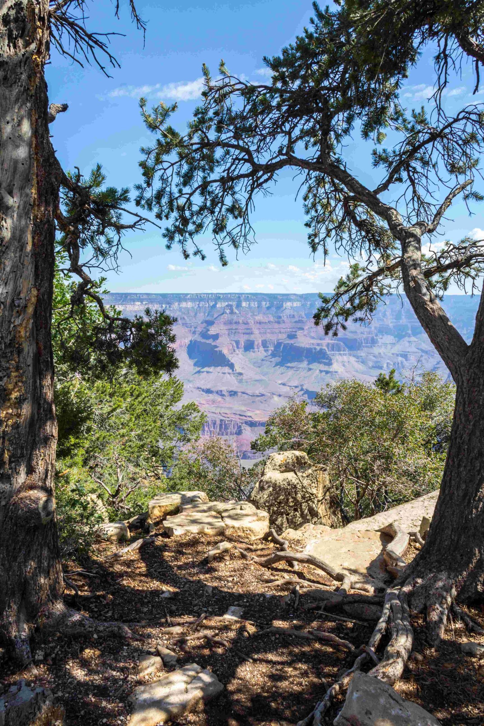
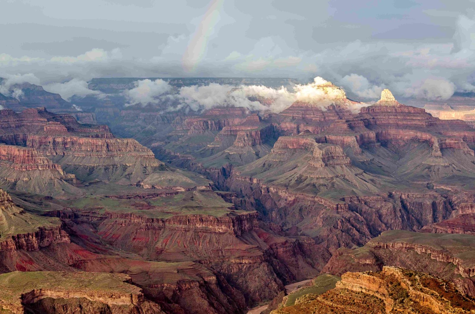
Exploring the majestic landscapes between Humphreys Peak and Grand Canyon reveals a complex geographical journey through Arizona’s diverse terrain. While no direct hiking trail connects these two iconic landmarks, adventurers can navigate the challenging elevation changes, unique wilderness conditions, and breathtaking mountain environments that define this remarkable region.
What Makes Humphreys Peak Unique?

Humphreys Peak stands as Arizona’s highest point, rising dramatically to 12,633 feet within the Kachina Peaks Wilderness. Located near Flagstaff, this mountain offers extraordinary perspectives of the surrounding landscape, though it does not provide a direct route to the Grand Canyon.
How Far Are Humphreys Peak and Grand Canyon?
The distance between Humphreys Peak and Grand Canyon’s South Rim is approximately 80 miles, requiring strategic planning for hikers and explorers. While no continuous trail connects these destinations, multiple routes and transportation options exist for adventurers.
| Location | Elevation | Distance from Each Other |
|---|---|---|
| Humphreys Peak | 12,633 ft | 80 miles |
| Grand Canyon South Rim | 7,000 ft | Varies |
What Are the Hiking Challenges?

Hiking between these locations presents significant challenges:
- Extreme Elevation Changes:
- 5,633 feet difference between peak and canyon
- Potential altitude sickness risks
-
Rapid temperature fluctuations
-
Terrain Complexity:
- Steep, rocky trails
- Unpredictable mountain weather
- Limited direct connecting routes
When Should You Plan Your Expedition?
Best Seasonal Considerations
- Summer (June-August):
- Most accessible hiking conditions
- Minimal snow coverage
-
Longer daylight hours
-
Late Spring/Early Fall:
- Moderate temperatures
- Less crowded trails
- Stable weather patterns
What Preparation Is Essential?
Successful navigation requires comprehensive preparation:
- Physical Fitness: High-intensity cardiovascular training
- Gear Requirements:
- Altitude-appropriate clothing
- Navigation tools
- Emergency communication devices
- Acclimatization: Gradual elevation exposure
- Hydration: Carry sufficient water
- Weather Monitoring: Check forecasts regularly
Alternative Route Strategies
While no direct trail exists, explorers can:
- Drive between locations
- Use connecting trail systems
- Plan multi-day backpacking expeditions
- Utilize professional guided tours
Safety and Wilderness Considerations
- Obtain necessary wilderness permits
- Register hiking plans
- Carry emergency communication devices
- Understand local wildlife interactions
- Respect environmental preservation guidelines
Technical Trail Details for Humphreys Peak
- Trail Length: 5-5.5 miles one-way
- Elevation Gain: 3,420 feet
- Difficulty: Strenuous
- Trailhead Location: Arizona Snowbowl ski resort
Final Expedition Insights
Connecting Humphreys Peak and Grand Canyon demands strategic planning, physical preparedness, and respect for the challenging wilderness environment. While no direct trail exists, adventurers can craft memorable experiences through careful route selection and comprehensive preparation.

