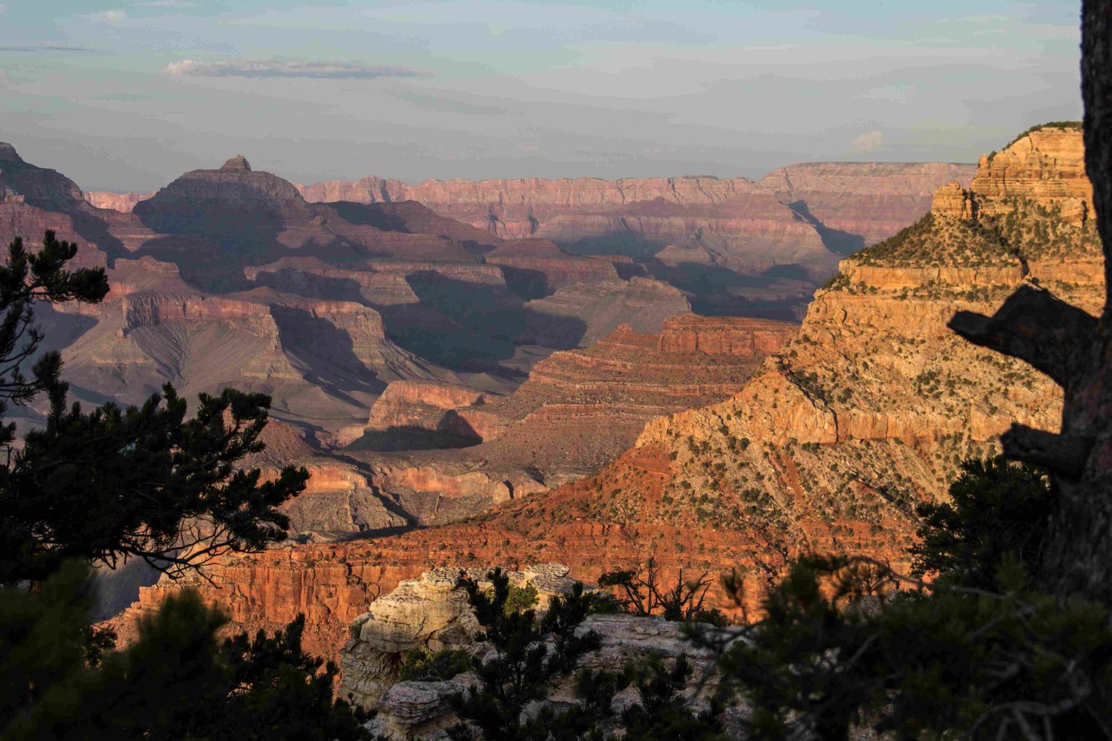
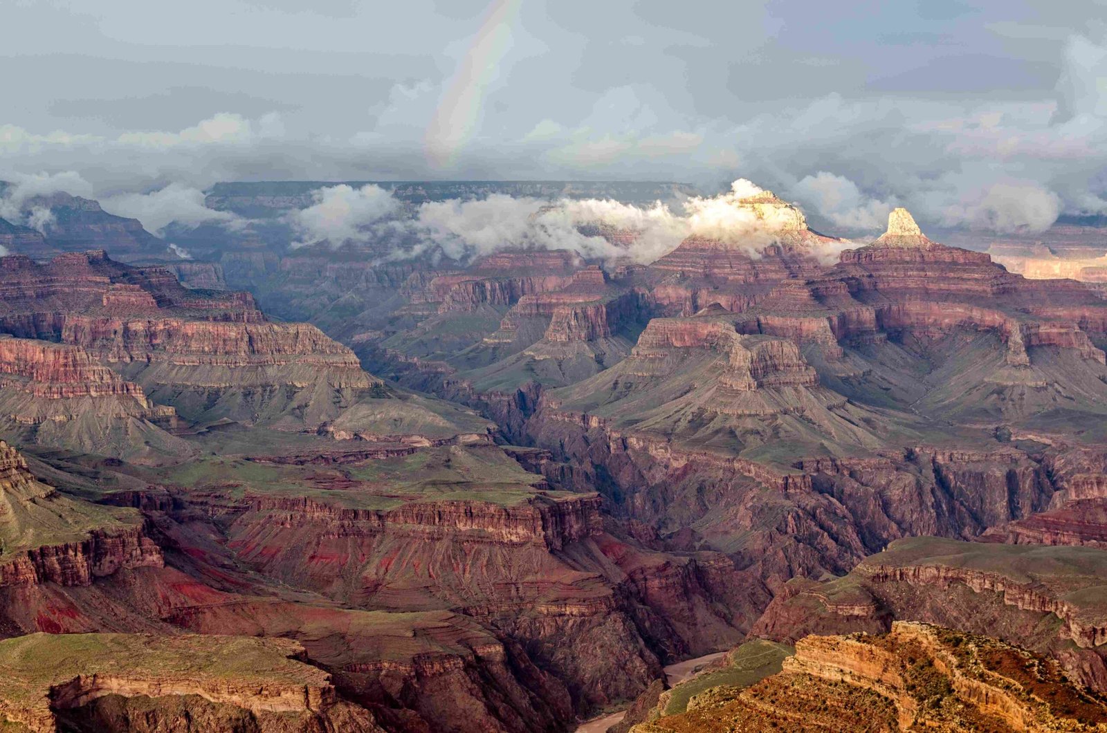
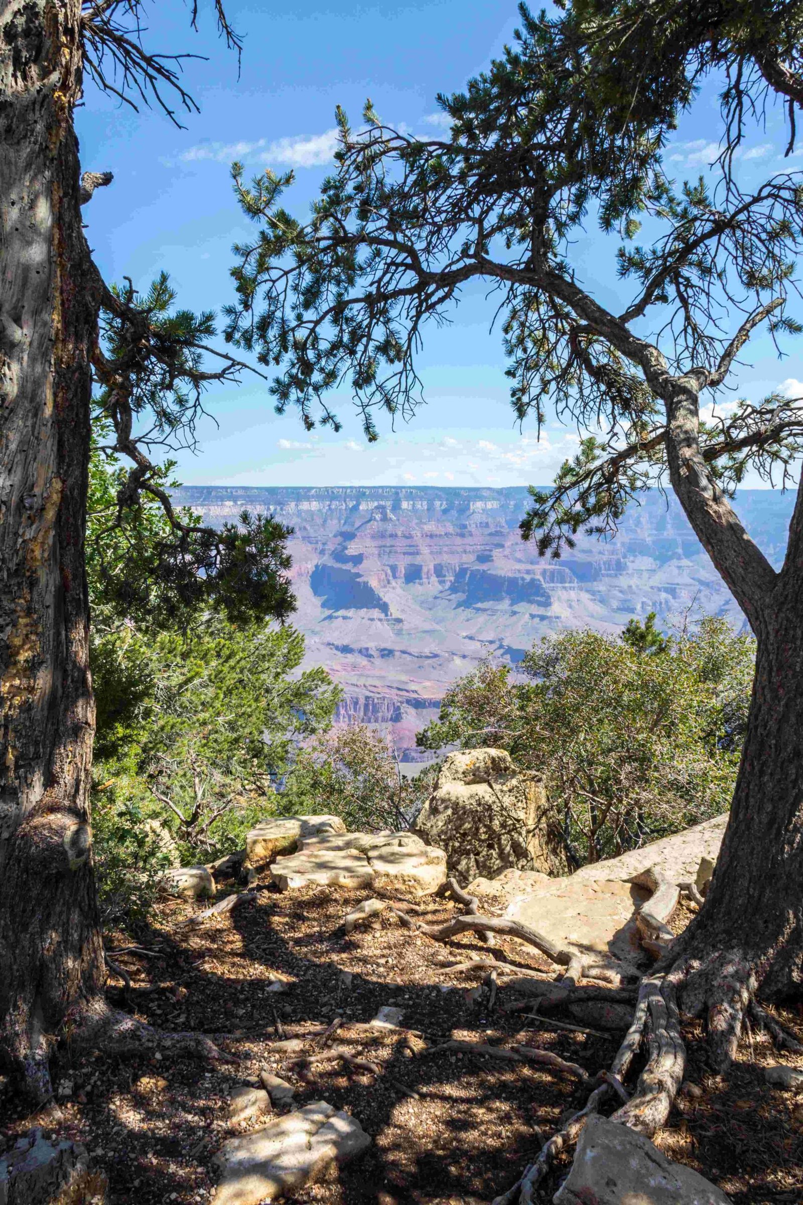
The Grand Canyon’s South Rim stands majestically at an average elevation of 7,000 feet above sea level, presenting visitors with a breathtaking panorama of geological wonder. This remarkable elevation creates a unique ecosystem, challenging environment, and spectacular viewing experience that attracts millions of travelers annually, offering unparalleled insights into the Earth’s complex geological history and natural beauty.
What Makes the Grand Canyon South Rim Elevation Unique?

The South Rim’s elevation of 7,000 feet represents more than just a numerical measurement—it’s a gateway to understanding the complex geological processes that shaped this magnificent landscape. Unlike many other natural formations, the Grand Canyon’s elevation provides visitors with an extraordinary perspective on geological time and transformation.
Elevation Characteristics
| Elevation Metric | Measurement |
|---|---|
| Average Elevation | 7,000 feet |
| Meters Above Sea Level | 2,135 meters |
| Comparison to North Rim | 1,000 feet lower |
How Does Elevation Impact Visitor Experience?

Physical Challenges at High Altitude
Visitors to the Grand Canyon South Rim must prepare for potential altitude-related challenges:
- Potential symptoms of altitude sickness
- Increased risk of dehydration
- Higher UV exposure
- Rapid temperature fluctuations
- Reduced oxygen levels
Recommended Visitor Preparations
- Carry sufficient water
- Use high-SPF sunscreen
- Wear layered clothing
- Take gradual acclimatization breaks
- Monitor personal health conditions
What Wildlife Thrives at This Elevation?
The 7,000-foot elevation creates a unique ecological zone supporting diverse wildlife:
- Ponderosa pine forests
- Mule deer populations
- Various raptor species
- Elk herds
- Diverse reptile communities
Can Visitors Safely Navigate Different Elevation Zones?
Trail Recommendations
- Rim Trail: Minimal elevation changes
- Bright Angel Trail: Significant descent/ascent
- South Kaibab Trail: Steeper elevation profile
- Desert View Drive: Panoramic elevation perspectives
What Geological Processes Created This Elevation?
The Grand Canyon’s 7,000-foot South Rim elevation resulted from millions of years of:
- Tectonic plate movements
- Erosional processes
- Colorado River cutting
- Volcanic activity
- Sedimentary rock layering
Scientific Insights
Geologists estimate that the Colorado Plateau’s uplift began approximately 5-6 million years ago, gradually creating the current elevation profile. This slow, persistent geological transformation continues to fascinate researchers and visitors alike.
How Does Elevation Affect Climate?
The 7,000-foot elevation significantly influences local climate patterns:
- Cooler temperatures compared to canyon floor
- More precipitation
- Faster weather changes
- Distinct seasonal variations
- Microclimatic zones
Practical Travel Considerations
Best Times to Visit
- Late spring (May-June)
- Early fall (September-October)
- Avoid mid-summer heat
- Winter offers unique landscape perspectives
Safety Recommendations
- Check weather forecasts
- Carry emergency supplies
- Inform park rangers about travel plans
- Use proper hiking equipment
- Stay on designated trails
Conclusion
The Grand Canyon South Rim’s 7,000-foot elevation offers more than a numerical statistic—it represents a complex, dynamic ecosystem that continues to inspire and challenge human understanding of geological processes.
Reference:
– National Park Service
– USGS Geological Survey
– Grand Canyon Conservancy

