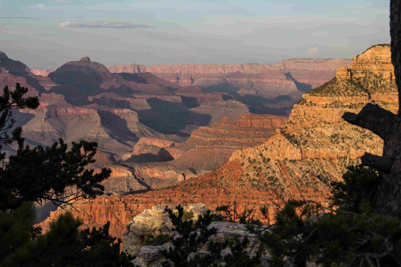
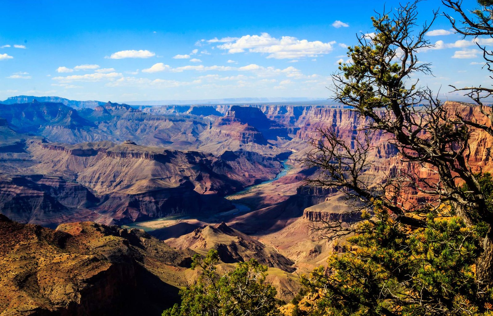
The Colorado River, a remarkable naturally occurring surface feature, has been the primary sculptor of the Grand Canyon, systematically eroding rock layers through millions of years of persistent water flow. This extraordinary geological process transformed a flat landscape into one of the world’s most stunning natural wonders, revealing complex sedimentary rock layers and creating a breathtaking canyon that stretches over 400 kilometers.
What Makes the Colorado River a Powerful Erosive Force?

The Colorado River’s erosive capabilities stem from several critical factors:
- Water Volume and Speed
- High water velocity
- Significant sediment transportation
-
Consistent downward gradient
-
Geological Conditions
- Soft sedimentary rock layers
- Significant elevation changes
- Tectonic plateau uplift
How Long Did Erosion Take?

| Geological Period | Erosion Characteristics | Estimated Duration |
|---|---|---|
| Initial Stage | Slow rock wearing | 1-2 million years |
| Accelerated Erosion | Increased water flow | 3-4 million years |
| Modern Formation | Refined canyon shape | Last 5-6 million years |
What Rock Layers Did the River Cut Through?
The Colorado River systematically cut through multiple geological layers:
- Youngest Layer: Kaibab Formation (Permian period)
- Intermediate Layers: Limestone, sandstone, shale
- Oldest Exposed Layer: Bass Limestone (Proterozoic era, ~1.2 billion years old)
What Contributed to the River’s Erosive Power?
Several factors enhanced the Colorado River’s erosive capabilities:
- Tectonic plateau uplift
- Seasonal flooding patterns
- Sediment-laden water
- Steep river gradient
- Climate variations during ice ages
How Deep and Wide Did Erosion Create?
The Colorado River’s erosive action resulted in:
- Length: 400 kilometers
- Width: Up to 29 kilometers
- Depth: Approximately 1.6 kilometers
What Scientific Evidence Supports This Erosion Theory?
Geologists have confirmed the Colorado River’s role through:
- Stratigraphic analysis
- Radiometric dating techniques
- Sediment composition studies
- Geological mapping
- Computer erosion models
What Ongoing Processes Continue Today?
The erosion process remains active, with the river continuing to:
- Transport sediments
- Gradually deepen canyon walls
- Reshape landscape features
- Expose underlying rock layers
Visitor Exploration Opportunities
Visitors can witness this geological marvel through:
- Guided geological tours
- Hiking trails
- River rafting expeditions
- Observation points along canyon rims
Note: The Grand Canyon represents a dynamic, ongoing geological process where the Colorado River continues its patient, persistent sculpting of the landscape.
References:
– National Park Service Geological Resources
– United States Geological Survey
– Geological Society of America

