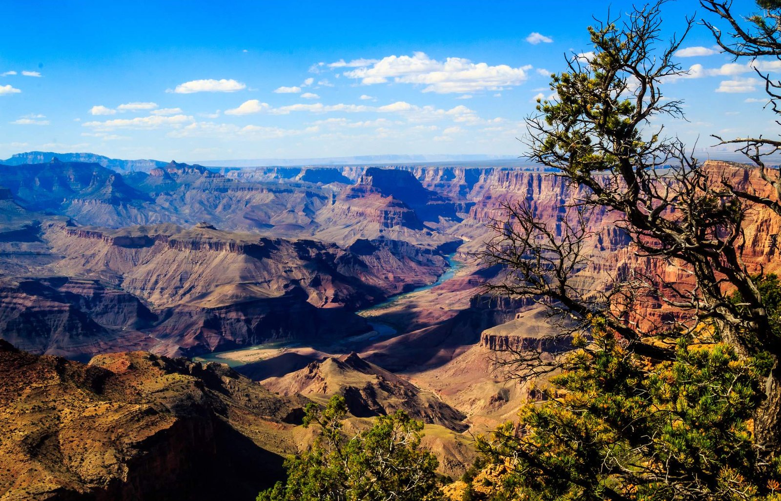
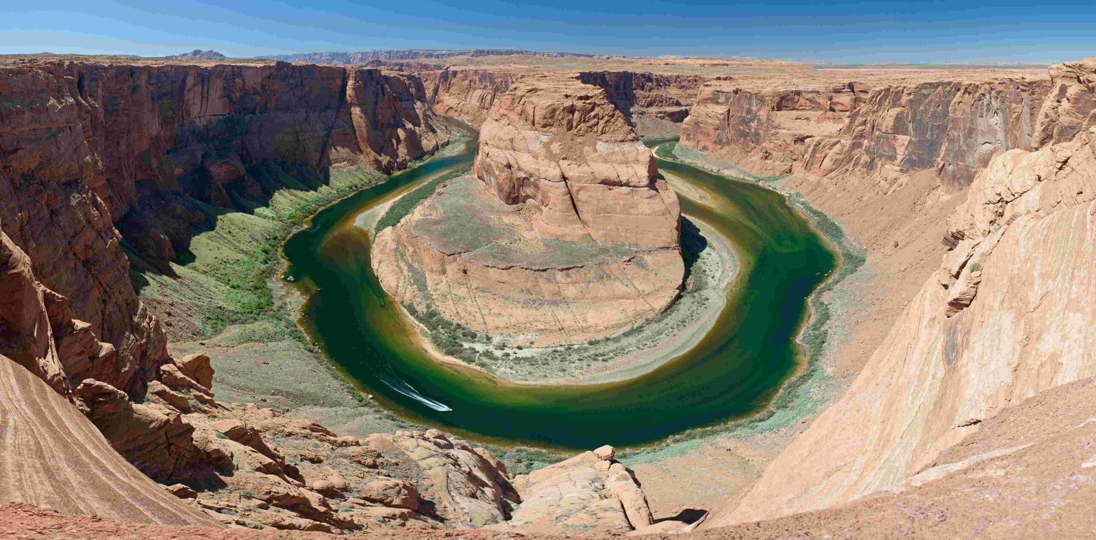
The Colorado River’s remarkable journey of sculpting the Grand Canyon spans millions of years, transforming solid rock through persistent erosion, sediment transport, and dynamic water flow. This extraordinary geological process has created one of the world’s most stunning natural landscapes, revealing intricate rock layers and exposing nearly 2 billion years of Earth’s geological history through a complex interplay of water, sediment, and geological forces.
What Geological Mechanisms Enabled the Colorado River to Carve the Grand Canyon?

How Does River Erosion Create Landscape Transformation?
The Colorado River’s ability to sculpt the Grand Canyon stems from several critical geological mechanisms:
Fluvial Erosion Process
- Sediment-Driven Erosion: River water carrying sand, rocks, and sediment acts like natural sandpaper
- Gradual Rock Removal: Continuous water flow slowly wears away rock layers
- Cutting Through Geological Strata: Exposes multiple rock formations dating back millions of years
Sediment Transport Dynamics
| Sediment Type | Erosive Capacity | Impact on Canyon Formation |
|---|---|---|
| Sand | Moderate | Creates smooth surfaces |
| Rocks | High | Cuts deeper channels |
| Silt | Low | Fills smaller crevices |
What Factors Influence the River’s Erosive Power?
- Water Volume and Flow Rate
- Seasonal variations dramatically impact erosion
- Spring runoff increases cutting potential
-
Flood events accelerate landscape transformation
-
Geological Resistance
- Different rock layers have varying hardness
- Softer sedimentary rocks erode faster
- Harder crystalline rocks create more resistant formations
How Long Did It Take to Create the Grand Canyon?
The Grand Canyon’s formation is a testament to geological patience:
- Estimated Formation Time: 5-6 million years
- Current Depth: Approximately 6,093 feet
- Erosion Rate: 0.06 to 0.12 inches per year
- Total Length: 277 miles
What Unique Geological Features Resulted from River Erosion?
The Colorado River’s sculpting process revealed extraordinary geological features:
- Exposed Rock Layers: Nearly 40 distinct geological strata
- Ancient Rock Formations:
- Vishnu Schist (nearly 2 billion years old)
- Proterozoic crystalline rocks
- Paleozoic sedimentary formations
What Scientific Techniques Help Understand Canyon Formation?
Geologists employ multiple research methods:
– Radiometric dating
– Sediment analysis
– Stratigraphic mapping
– Computer modeling of erosion patterns
Visitor Insights and Exploration

Where Can Visitors Observe Erosion Evidence?
Recommended observation points:
– Mather Point
– Yavapai Observation Station
– Geological Museum exhibits
– Rim Trail geological markers
Safety Considerations for Canyon Exploration
Essential Precautions:
– Wear appropriate hiking gear
– Carry sufficient water
– Follow designated trails
– Be aware of seasonal flooding risks
Conclusion
The Colorado River’s extraordinary journey of sculpting the Grand Canyon represents a profound demonstration of nature’s transformative power, revealing Earth’s complex geological history through persistent, patient erosion.
