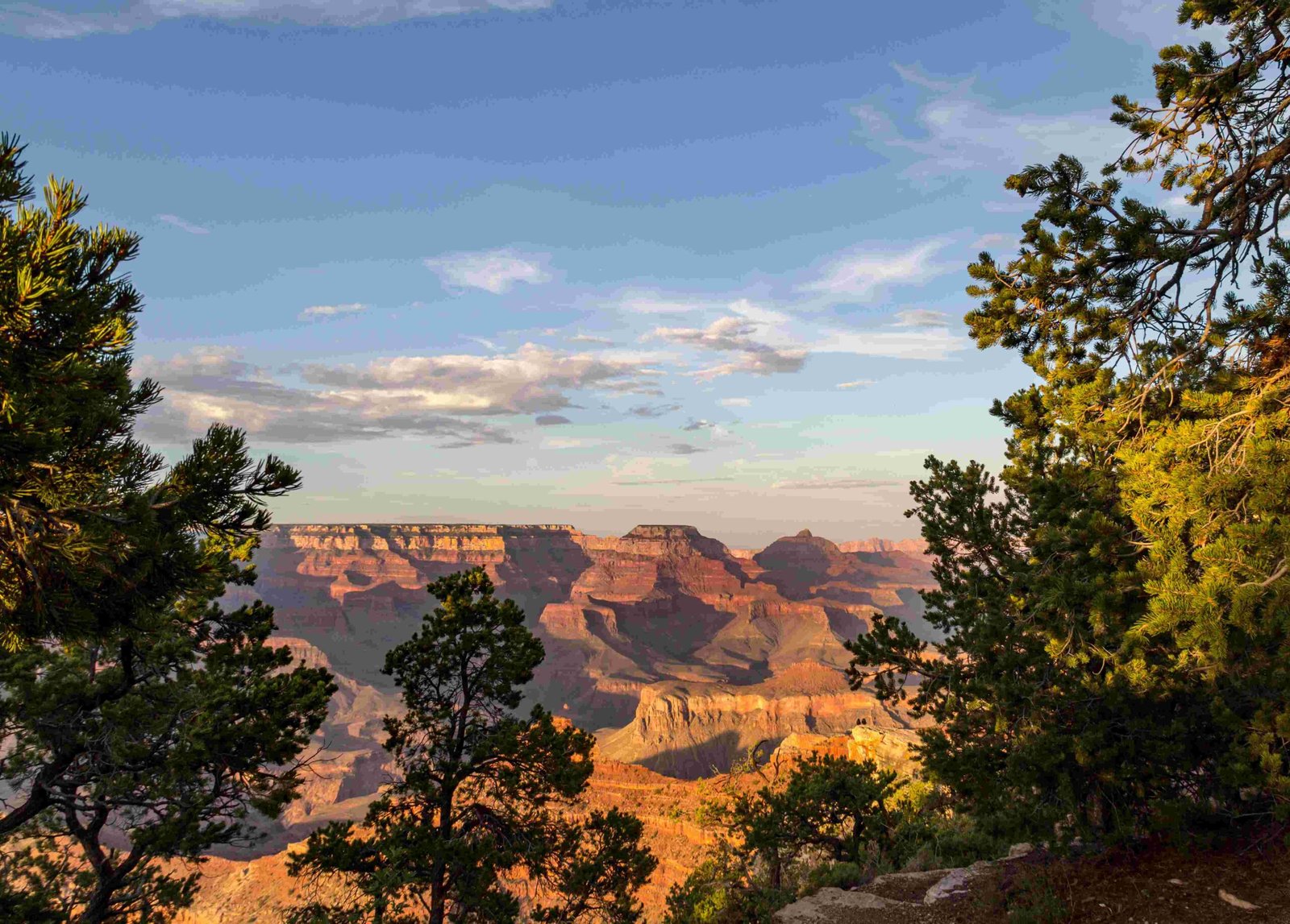
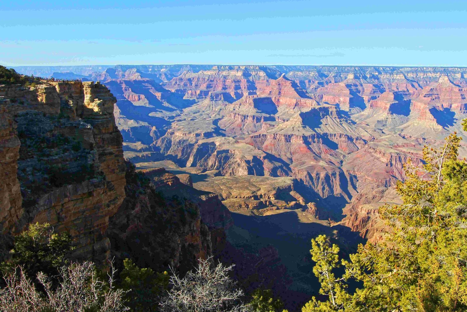
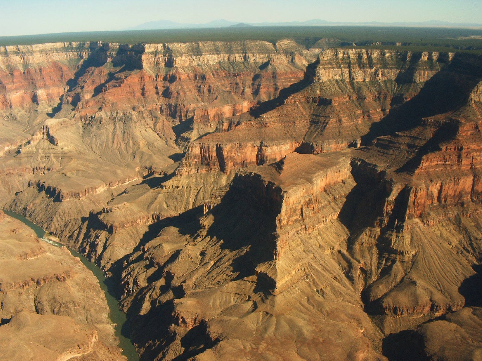
The Grand Canyon and Royal Gorge represent extraordinary geological masterpieces carved through millions of years by complex interactions of water, tectonic uplift, and erosional forces. These remarkable landscapes emerged from intricate geological processes involving the Colorado River’s persistent downcutting, regional plateau uplift, and systematic sedimentary rock layer exposure, creating some of the most stunning natural formations on Earth.
What Geological Forces Shaped the Grand Canyon?

How Did Tectonic Movements Contribute?
Tectonic movements played a crucial role in creating the Grand Canyon’s foundational landscape. The Colorado Plateau experienced significant uplift during the Laramide orogeny approximately 75 million years ago, elevating the region by roughly 2 miles. This uplift created a dramatic elevation change that enabled the Colorado River to begin its remarkable erosional journey.
Key Tectonic Influences
- Laramide orogeny mountain-building event
- Colorado Plateau regional uplift
- Crustal stretching in the Basin and Range Province
What Role Did the Colorado River Play?
The Colorado River emerged as the primary sculptor of both the Grand Canyon and Royal Gorge. Approximately 5-6 million years ago, the river began an aggressive downcutting process, capturing older drainage systems and initiating a remarkable erosional journey.
| Erosional Phase | Timeframe | Key Characteristics |
|---|---|---|
| Initial Cutting | 5-6 Million Years Ago | River captures drainage system |
| Continuous Downcutting | Ongoing | Persistent water erosion |
| Lateral Expansion | Continuous | Widening canyon walls |
How Did Sedimentary Layers Contribute?
The Grand Canyon’s walls reveal nearly 40 distinct rock layers, each representing different geological periods:
- Precambrian Basement Rocks
- Formed around 1.75 billion years ago
-
Includes Vishnu Schist and Zoroaster Granite
-
Paleozoic Sedimentary Layers
- Deposited between 550-250 million years ago
-
Composed of limestone, sandstone, and shale
-
Mesozoic and Cenozoic Remnants
- Limited preservation in western Grand Canyon
- Include recent lava flows and cinder cones
What Distinguishes the Royal Gorge Formation?
The Royal Gorge, located in Colorado, shares similar formation processes with the Grand Canyon but has unique characteristics:
- Formed by the Arkansas River’s erosional power
- Narrower and deeper relative to its length
- Created through similar water-based downcutting mechanisms
- Surrounded by harder granite and metamorphic rock layers
Scientific Insights and Ongoing Research

Modern geological research continues to refine our understanding of these remarkable landscapes. Advanced techniques like radiometric dating and satellite imaging provide increasingly precise insights into their formation processes.
Research Methodologies
- Radiometric rock dating
- Satellite terrain mapping
- Sedimentary layer analysis
- Paleoclimatic reconstructions
Visitor Exploration Opportunities
Visitors can explore these geological wonders through:
– National Park guided tours
– Geological education programs
– Hiking trails with interpretive signage
– Rafting expeditions along river routes
Recommended Observation Points
- Mather Point (Grand Canyon)
- Yavapai Point (Grand Canyon)
- Royal Gorge Bridge and Park Visitor Center
Preservation and Conservation
Understanding these geological processes underscores the importance of preserving these natural monuments for future scientific study and appreciation.
Conservation Strategies
- Limiting human intervention
- Scientific monitoring
- Public education programs
- Sustainable tourism practices
Conclusion
The Grand Canyon and Royal Gorge represent extraordinary testimonies to Earth’s dynamic geological processes, showcasing millions of years of continuous transformation through water, tectonic movements, and persistent erosion.

