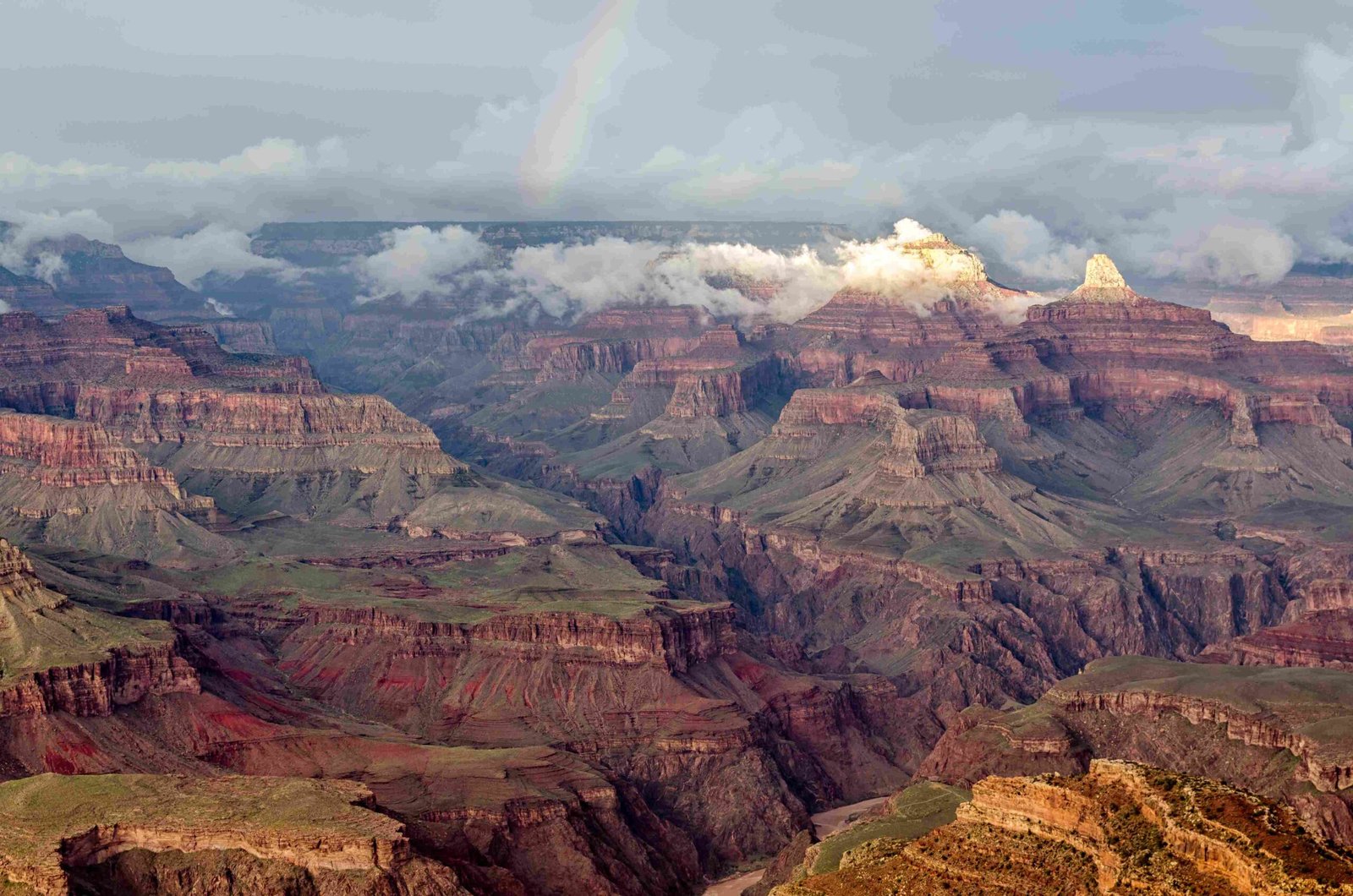
The Grand Canyon represents a remarkable testament to geological transformation, where constant erosional forces have meticulously carved a breathtaking landscape over approximately 5-6 million years. Through persistent water flow, tectonic movements, and climatic variations, the Colorado River has systematically cut through multiple rock layers, creating one of the world’s most spectacular geological formations.
What Drives the Grand Canyon’s Formation?

How Does Water Erosion Shape the Landscape?
Water erosion stands as the primary mechanism behind the Grand Canyon’s creation. The Colorado River has been the most significant agent, gradually wearing down rock layers through its continuous flow. This process involves several critical mechanisms:
- Hydraulic Action: Water’s direct force breaking rock fragments
- Abrasion: Sediment carried by water grinding against rock surfaces
- Chemical Weathering: Water dissolving mineral components
Erosion Rate Dynamics
| Geological Period | Estimated Erosion Rate | Primary Factors |
|---|---|---|
| Early Formation | Slower (0.1-0.5 mm/year) | Initial river establishment |
| Middle Period | Moderate (1-2 mm/year) | Increased water volume |
| Recent Centuries | Accelerated (2-3 mm/year) | Climate changes |
What Geological Layers Contribute to the Canyon’s Structure?
The Grand Canyon exposes a remarkable geological timeline, featuring sedimentary layers representing different geological epochs:
- Paleozoic Limestone Layers
- Kaibab Formation
- Toroweap Formation
-
Representing marine environments from 270-340 million years ago
-
Mesozoic Sandstone Layers
- Coconino Sandstone
-
Representing desert and coastal environments
-
Precambrian Basement Rocks
- Vishnu Schist
- Representing the oldest rock formations
How Do Tectonic Forces Influence Canyon Development?
Tectonic activities play a crucial role in the Grand Canyon’s evolution:
- Plate Movements: North American Plate’s gradual uplift
- Regional Elevation Changes: Colorado Plateau’s vertical movement
- Isostatic Adjustments: Earth’s crust responding to weight distribution
What Climate Factors Accelerate Erosion?
Climate significantly impacts erosional processes:
- Seasonal Variations: Spring floods carrying substantial sediment
- Temperature Fluctuations: Freeze-thaw cycles breaking rock structures
- Precipitation Patterns: Rainfall intensity affecting erosion rates
Unique Characteristics of Grand Canyon Erosion

Dimensions Reflecting Erosional Power
- Depth: Approximately 6,093 feet (1,857 meters)
- Width: Up to 18 miles (29 kilometers)
- Length: 277 miles (446 kilometers)
Scientific Significance
The Grand Canyon serves as a living geological laboratory, providing insights into:
– Long-term landscape evolution
– Climate change documentation
– Geological time preservation
Visitor Understanding and Exploration
Educational Opportunities
- Ranger-led geological tours
- Interactive museum exhibits
- Geological trail interpretations
Conclusion
The Grand Canyon exemplifies nature’s extraordinary capacity to transform landscapes through constant, persistent geological processes. Its formation represents a complex interplay of water, tectonic, and climatic forces working continuously over millions of years.
