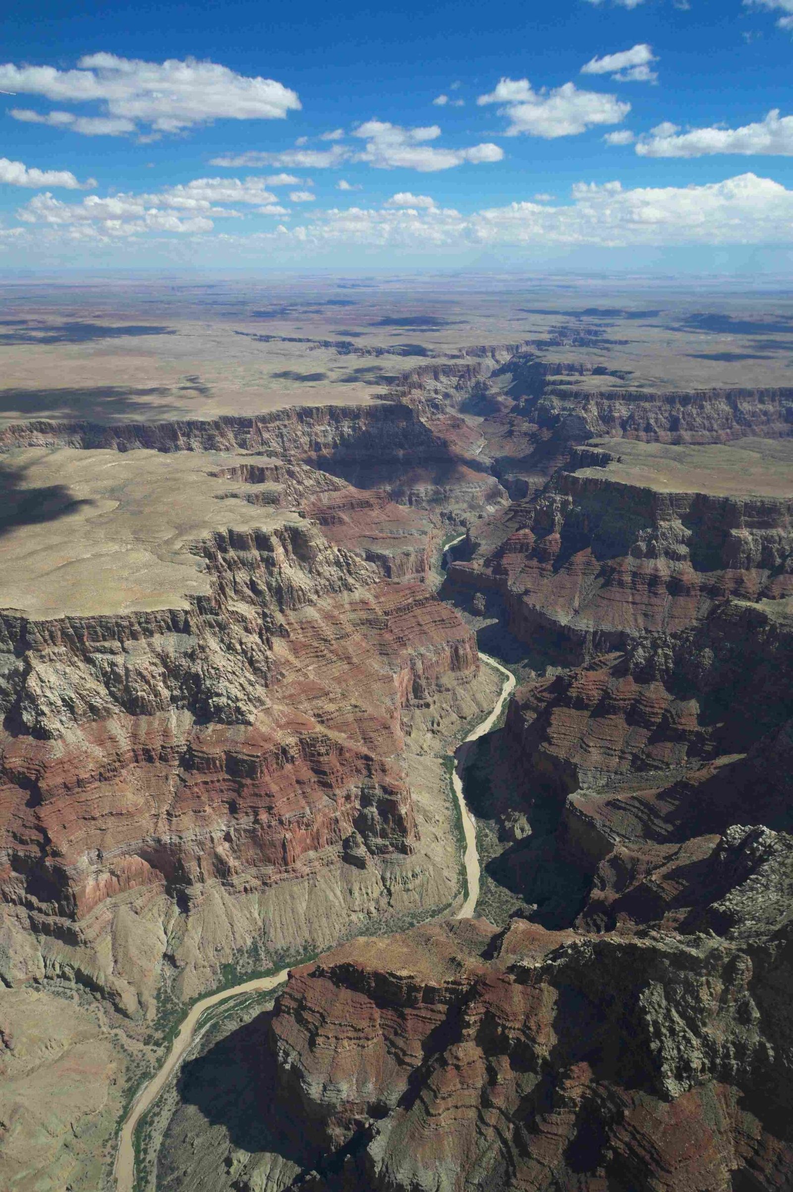
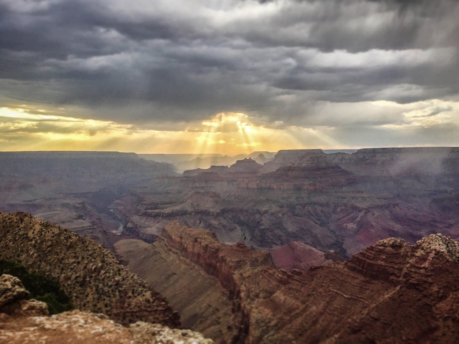
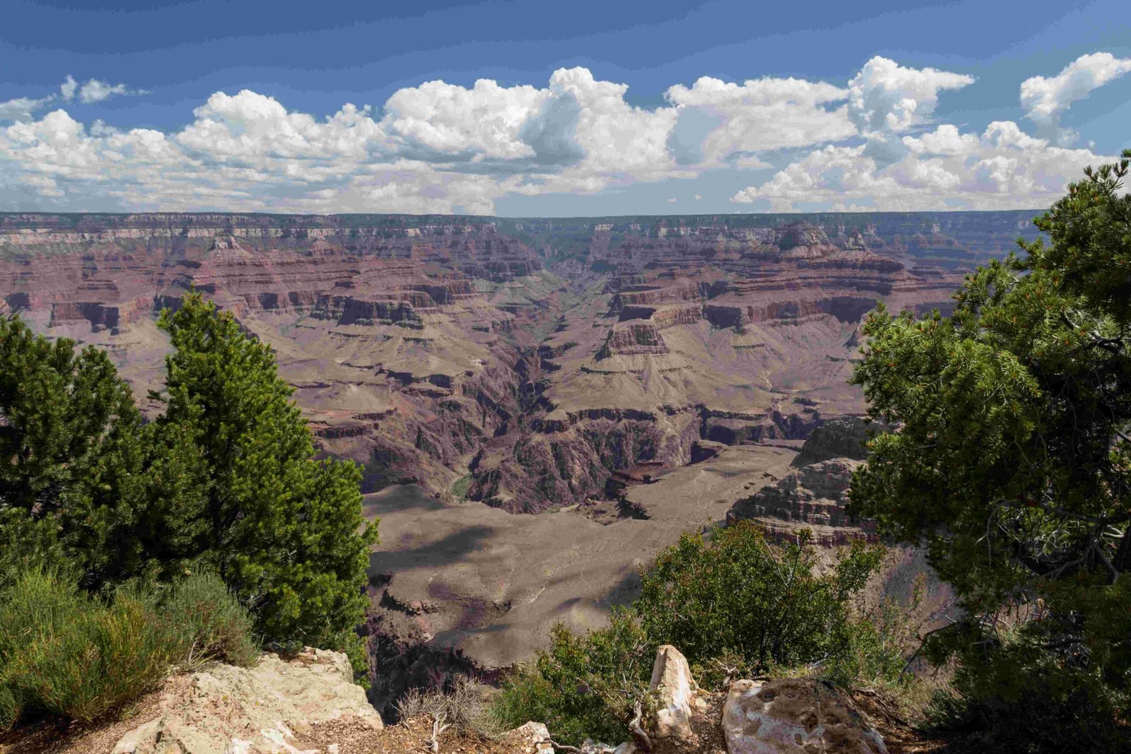
Embarking on a scenic road trip from Barstow to Grand Canyon South Rim spans approximately 378 miles through California and Arizona’s diverse landscapes. This journey offers travelers an incredible opportunity to explore stunning desert terrains, historic Route 66 landmarks, and one of America’s most iconic national parks, with an estimated driving time of around 5 hours and 45 minutes.
What Is the Exact Distance Between Barstow and Grand Canyon South Rim?

The precise distance from Barstow to the Grand Canyon South Rim is 378 miles (609 kilometers). This cross-state adventure traverses multiple highways and offers travelers a remarkable cross-section of southwestern United States geography.
Route Breakdown
| Segment | Highway | Distance | Estimated Time |
|---|---|---|---|
| Barstow to Williams | Interstate 40 East | ~330 miles | 4 hours 45 minutes |
| Williams to South Rim | Highway 64 North | ~48 miles | 1 hour |
What Are the Primary Navigation Routes?

Travelers have several route options when driving from Barstow to Grand Canyon South Rim:
- Primary Route:
- Start in Barstow
- Take Interstate 40 East
- Continue through Arizona
- Exit at Williams
-
Take Highway 64 North to Grand Canyon South Rim
-
Alternative Routes:
- Via Flagstaff (slightly longer)
- Through Lake Havasu City
- Mojave Desert scenic route
What Attractions Exist Along the Journey?
The Barstow to Grand Canyon South Rim route offers numerous fascinating stops:
- Barstow Attractions:
- Route 66 Mother Road Museum
- Calico Ghost Town
-
Western American Railroad Museum
-
Arizona Highlights:
- Mojave National Preserve
- Williams Historic Downtown
- Seligman (Classic Route 66 town)
How Should Travelers Prepare for the Road Trip?
Essential preparation tips include:
- Check vehicle maintenance before departure
- Pack sufficient water and snacks
- Carry physical and digital maps
- Ensure mobile phone chargers are available
- Have emergency roadside assistance contact information
What Are Recommended Stops and Rest Areas?
Recommended rest areas and fuel stops include:
- Needles, California
- Lake Havasu City
- Kingman, Arizona
- Williams
- Flagstaff
What Weather Conditions Should Travelers Expect?
Weather conditions vary significantly:
- Summer: Extremely hot (90-110°F)
- Winter: Cold and potentially snowy
- Spring/Fall: Mild temperatures ideal for travel
What Are Estimated Travel Costs?
Cost breakdown for the trip:
| Expense Category | Estimated Cost |
|---|---|
| Fuel | $75-$120 |
| Food | $50-$100 |
| Attractions | $30-$80 |
| Parking/Entrance Fees | $35 |
Final Travel Recommendations
- Start early in the morning
- Maintain flexible schedule
- Take frequent breaks
- Enjoy scenic viewpoints
- Respect local traffic laws
Pro Tip: Consider purchasing an annual National Parks pass if planning multiple park visits.
Reference:
– Google Maps
– National Park Service
– Route 66 Information

