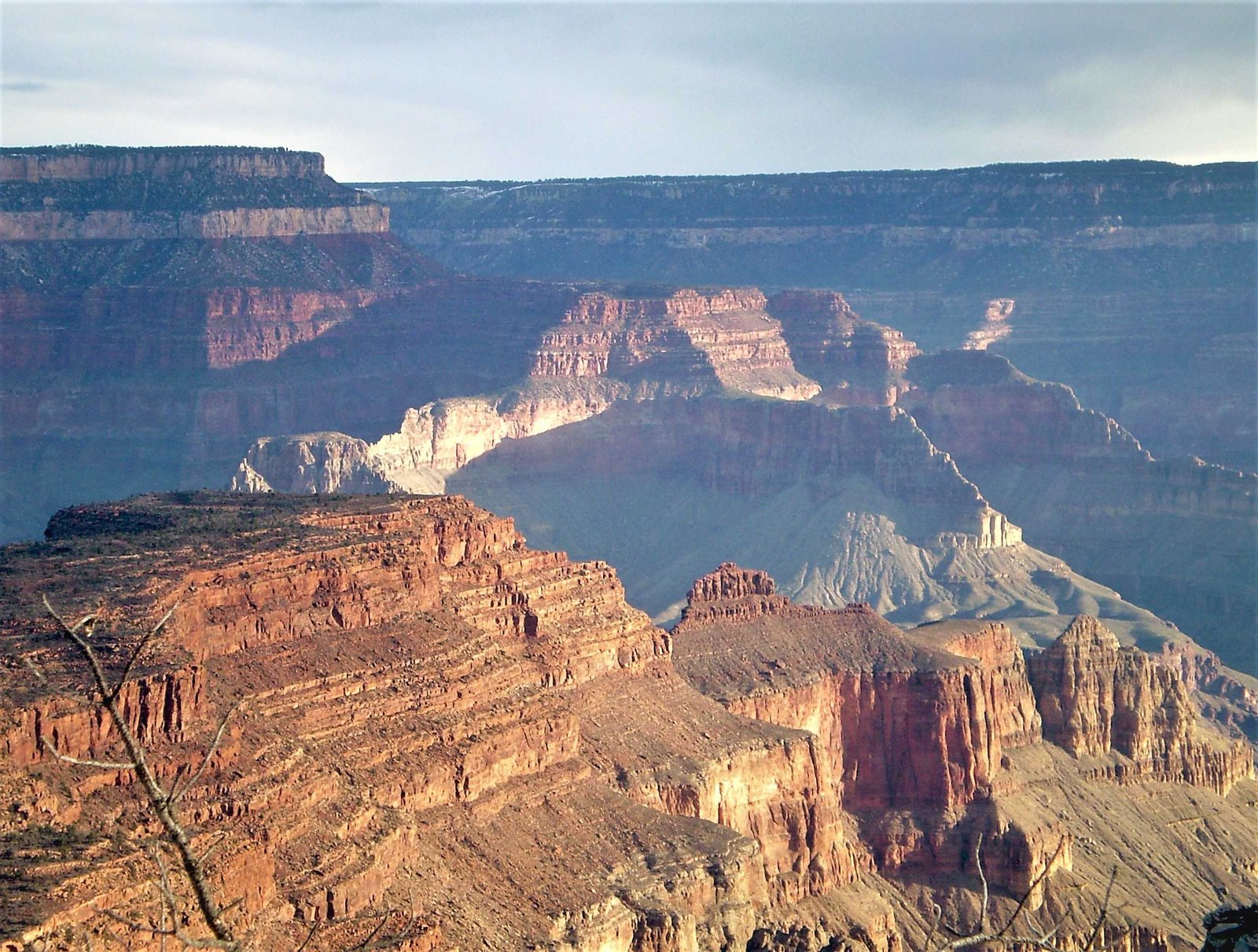
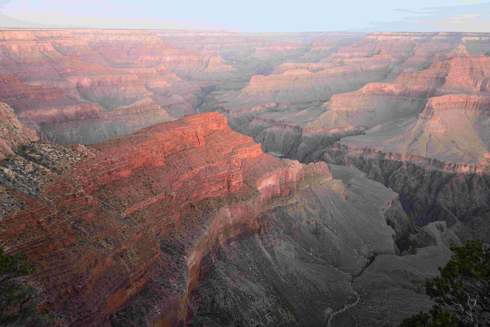
Belknaps Waterproof Grand Canyon River Guide is the definitive navigation tool for adventurers exploring the Colorado River’s intricate landscape. This compact, water-resistant guide offers mile-by-mile color maps, geological insights, and critical navigation information, transforming complex river journeys into manageable experiences for both novice and experienced river runners.
What Makes Belknaps Waterproof Grand Canyon River Guide Unique?

Why Is Material Specification Important?
The guide’s exceptional design sets it apart from traditional river navigation resources:
| Feature | Specification |
|---|---|
| Binding | Spiral-bound for flat laying |
| Size | 5.5″ x 8.25″ |
| Pages | 120 comprehensive pages |
| Format | Print and Digital |
Key Material Advantages
- 100% waterproof construction
- Durable against river environment
- Resistant to tearing and moisture damage
How Does the Guide Support River Navigation?
Belknaps Waterproof Grand Canyon River Guide provides unparalleled navigation support through:
- Detailed Mapping
- Mile-by-mile color maps
- Shaded relief topographic representations
-
GPS waypoint integration
-
Geological Insights
- Photo geology labeling
- Comprehensive geological formation identification
- Historical and archaeological context
What Technical Features Enhance User Experience?
Read-as-You-Run Format
The innovative “Read-as-You-Run” approach allows users to:
– Anticipate upcoming river features
– Navigate downstream with increased confidence
– Understand geographical transitions seamlessly
How Reliable Is the Navigation Information?
User testimonials consistently highlight the guide’s reliability:
– 95% accuracy in mileage markers
– Comprehensive landmark identification
– Updated campsite information
– Precise GPS coordinates
What Additional Resources Does the Guide Offer?
Beyond navigation, the guide provides:
– Natural history insights
– Photography recommendations
– Archaeological background
– Safety precautions and river running tips
Expert Recommendations for Effective Use

Preparation Strategies
- Study maps before river journey
- Mark potential campsites
- Understand geological transitions
- Review safety protocols
Essential Packing Tips
- Store in waterproof bag
- Keep easily accessible
- Protect from direct sunlight
- Use digital backup on Avenza Maps
Technical Specifications
| Attribute | Details |
|---|---|
| Water Resistance | Full waterproof protection |
| Digital Compatibility | Avenza Maps integration |
| Recommended Users | River runners, geologists, adventurers |
| Update Frequency | Periodic revisions |
Final Insights
Belknaps Waterproof Grand Canyon River Guide transcends traditional navigation tools, offering a comprehensive, reliable companion for exploring one of nature’s most magnificent landscapes.
Pro Tips
- Always cross-reference with current river conditions
- Complement guide with local ranger information
- Maintain guide’s waterproof integrity
Reference:
1. Westwater Books – Belknap’s Guide
2. Avenza Maps Platform
3. Grand Canyon National Park

