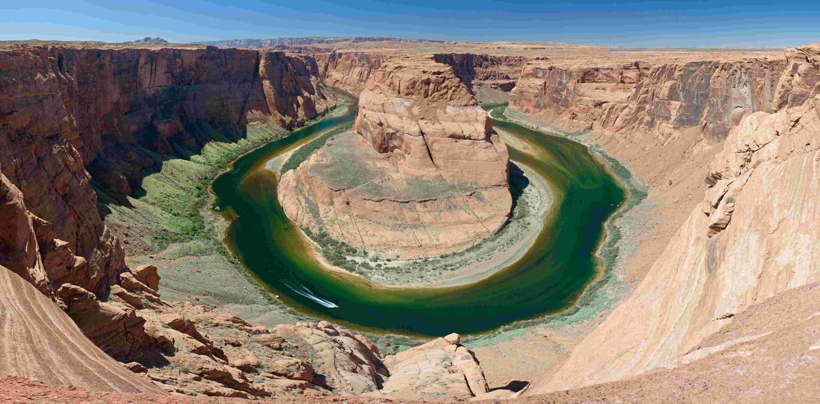
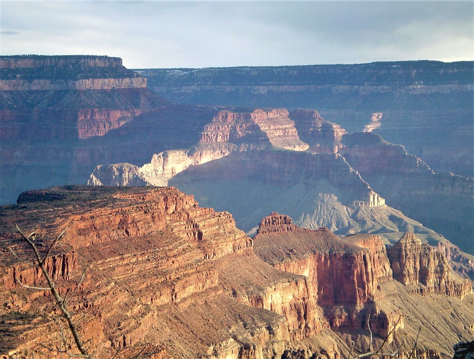
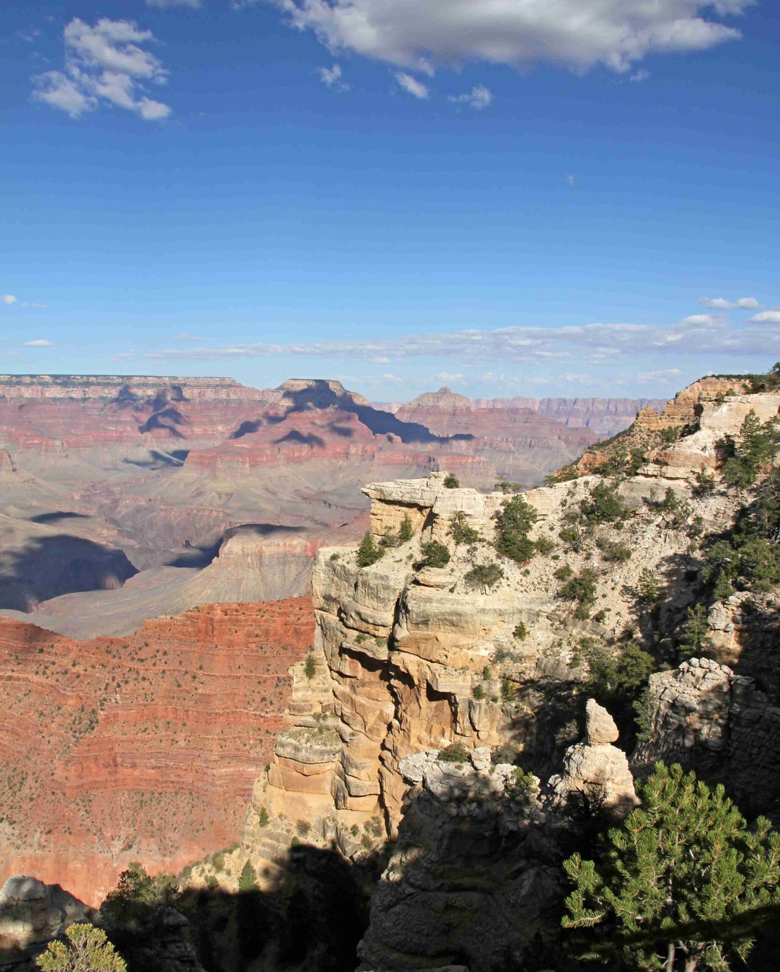
The Grand Canyon, a monumental geological wonder, experiences complex erosion processes that subtly alter its depth over millennia. While not dramatically changing annually, the canyon continues to evolve through intricate interactions between the Colorado River, rock layers, and environmental forces, with an average erosion rate of approximately 75 meters per million years, demonstrating a slow but persistent transformation of this iconic landscape.
What Drives the Grand Canyon’s Depth Transformation?

How Does River Erosion Impact Canyon Depth?
The Colorado River remains the primary architect of the Grand Canyon’s depth, with its erosive power shaped by multiple geological factors:
- Base Level Fall Rate: Approximately 75 meters per million years
- Erosion Amplification: Occurs at rock contact boundaries
- Geological Timespan: Significant incision began around 6 million years ago
Erosion Rate Variations
| Rock Layer Type | Erosion Characteristic | Impact on Depth |
|---|---|---|
| Strong Sedimentary Layers | Slower Erosion | Reduced Depth Change |
| Weak Sedimentary Layers | Faster Erosion | Accelerated Depth Modification |
| Mixed Stratigraphic Zones | Variable Erosion | Complex Depth Dynamics |
What Geological Processes Contribute to Canyon Depth?
The Grand Canyon’s depth results from multifaceted geological mechanisms:
- Tectonic Uplift: Colorado Plateau’s vertical movement
- River Incision: Continuous cutting through rock strata
- Sedimentary Layer Interactions: Differential erosion based on rock strength
- Climate-Driven Weathering: Water and wind erosion processes
Can Sediment Deposition Influence Canyon Depth?
Sediment dynamics play a crucial role in the Grand Canyon’s morphological evolution:
- High Discharge Scenarios: Sand transportation and erosion
- Controlled Flood Experiments: Sediment redistribution
- Annual Sediment Variations:
- 2018: 320,000 ± 110,000 tons of sand eroded
- 2019: 660,000 ± 450,000 tons of sand accumulated
What Scientific Evidence Supports Ongoing Depth Transformation?
Scientific research provides insights into the Grand Canyon’s continuous geological modification:
- Cosmogenic Isotope Studies: Reveal localized erosion rates around 365 meters per million years
- Numerical Simulations: Confirm consistent long-term erosion patterns
- Stratigraphic Analysis: Demonstrates complex rock layer interactions
Conclusion: A Dynamic Geological Landscape

The Grand Canyon continues to get deeper, albeit at an imperceptibly slow rate. Its transformation represents a continuous geological narrative, where erosion, sediment dynamics, and environmental forces collaborate to sculpt one of Earth’s most remarkable landscapes.
Key Takeaways
- Average erosion rate: 75 meters per million years
- Ongoing geological processes drive depth modifications
- Complex interactions between river, rock layers, and environmental factors
Reference:
1. Changes in Sand Storage in the Colorado River
2. Glen Canyon Dam AMP Sediment Report
3. Grand Canyon National Park Geological Report

