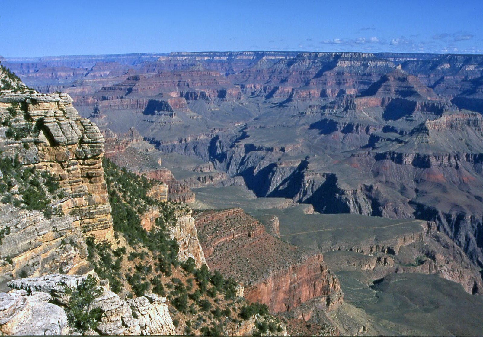
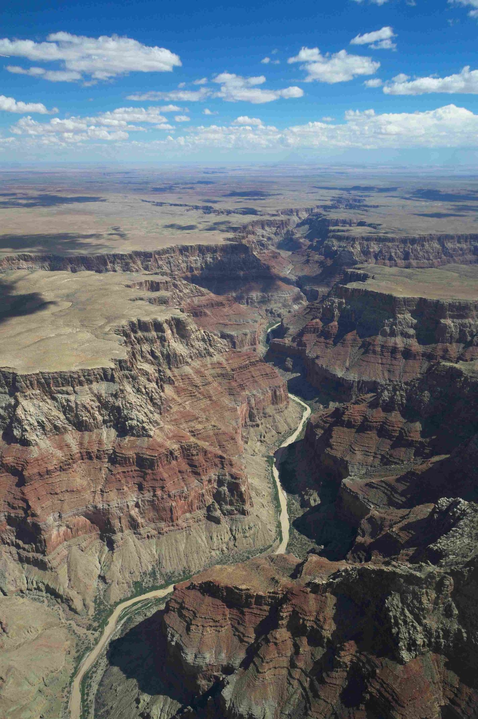
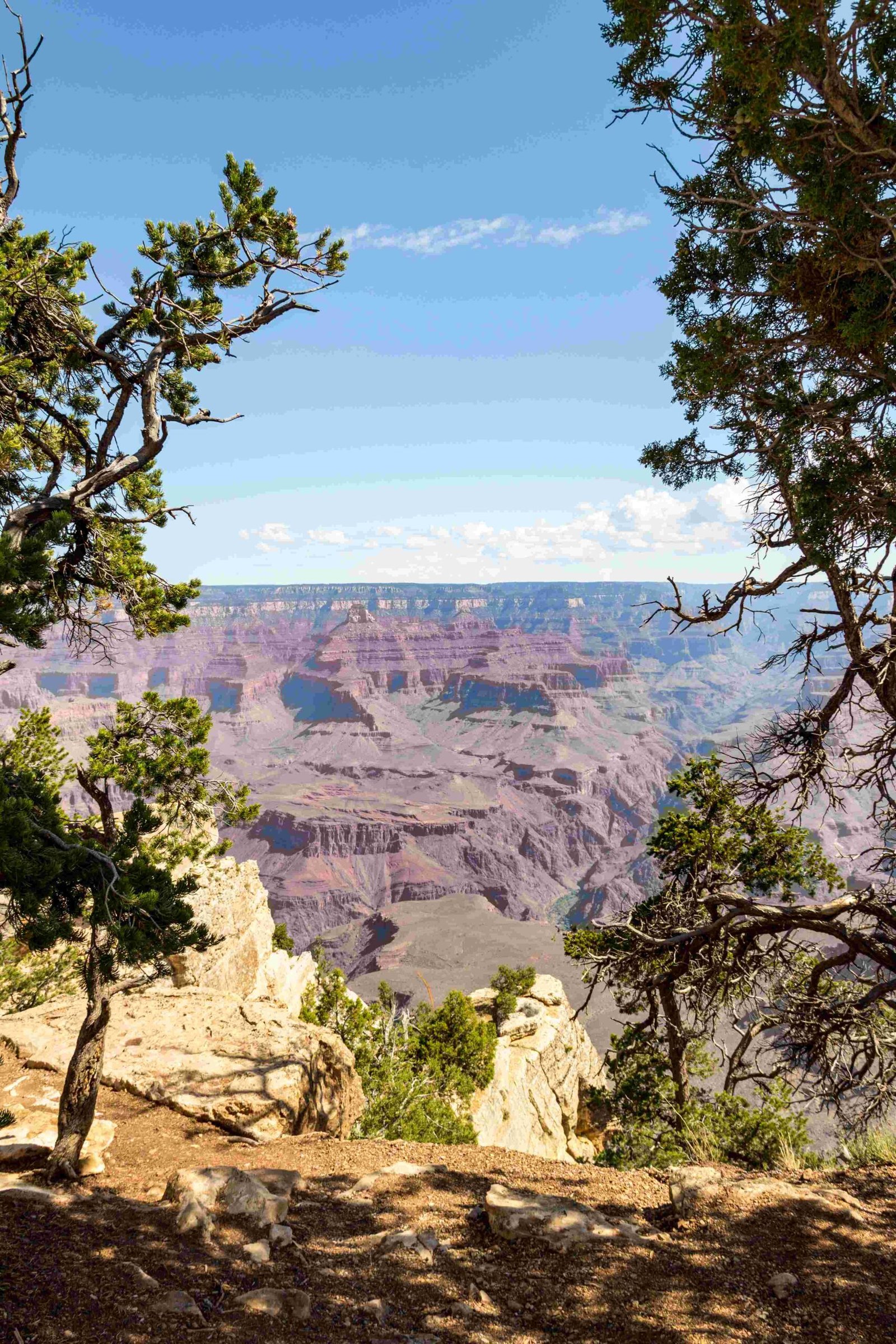
The Grand Canyon represents a monumental testament to geological processes, where the Colorado River has meticulously carved through layers of rock spanning nearly two billion years. Over approximately 6 million years, this powerful river has sculpted one of the world’s most remarkable landscapes, exposing a complex geological history through its 277-mile-long, up to 18-mile-wide canyon system that plunges more than a mile deep into the Earth’s crust.
How Did the Colorado River Begin Cutting the Grand Canyon?

Geological Origins and Tectonic Movements
The Grand Canyon’s formation is a complex narrative of geological transformation. The Colorado River began its erosive journey during the late Miocene epoch, approximately 6 million years ago, driven by tectonic uplift of the Colorado Plateau and regional geological changes.
Key Geological Factors
- Tectonic Uplift: Raised the Colorado Plateau, creating a steeper gradient for river flow
- Rock Composition: Varied sedimentary and metamorphic layers with different erosion resistances
- Climate Variations: Periodic changes in precipitation and river flow intensity
Rock Layer Chronology
| Era | Rock Type | Age (Million Years) | Characteristics |
|---|---|---|---|
| Precambrian | Vishnu Basement Rocks | 1,840 – 1,375 | Igneous and metamorphic foundations |
| Mesoproterozoic | Grand Canyon Supergroup | 1,255 – 729 | Sedimentary basin deposits |
| Paleozoic | Layered Sedimentary Rocks | 270 – 510 | Horizontal sedimentary units |
What Mechanisms Drove the Canyon’s Formation?

Erosion Processes
The Colorado River employed multiple erosion techniques to cut through the Grand Canyon:
- Mechanical Erosion
- River water carrying sediments
- Abrasive action against rock surfaces
-
Gradual cutting through resistant rock layers
-
Chemical Weathering
- Dissolution of mineral components
- Breaking down rock structures
- Creating unique geological formations
Volcanic Influences
Volcanic activities in the Uinkaret Volcanic Field contributed additional complexity to the canyon’s formation, with lava flows creating temporary dams and altering river courses.
Why Is the Grand Canyon’s Geological Story Unique?
Unprecedented Rock Exposure
The Grand Canyon reveals an extraordinary geological timeline, exposing nearly two billion years of Earth’s history through its stratified rock layers. This unprecedented exposure allows geologists to study:
- Continental collision events
- Ancient marine environments
- Tectonic plate movements
- Climate change indicators
Scientific Significance
Researchers continue to study the Grand Canyon as a living geological laboratory, using advanced techniques like:
– Thermochronologic dating
– Sediment analysis
– Structural geology mapping
How Deep and Wide Is the Canyon?
Dimensional Characteristics
- Maximum Depth: Approximately 1 mile (6,093 feet)
- Maximum Width: 18 miles
- Total Length: 277 miles
- Average River Gradient: Approximately 7.5 feet per mile
What Challenges Exist in Studying the Canyon?
Research Complexities
- Vast and challenging terrain
- Limited accessibility
- Extreme environmental conditions
- Complex geological interactions
Conclusion
The Grand Canyon cut by Colorado River represents more than a geographical feature—it’s a dynamic, ongoing geological narrative that continues to evolve, revealing Earth’s intricate history through its magnificent landscape.

