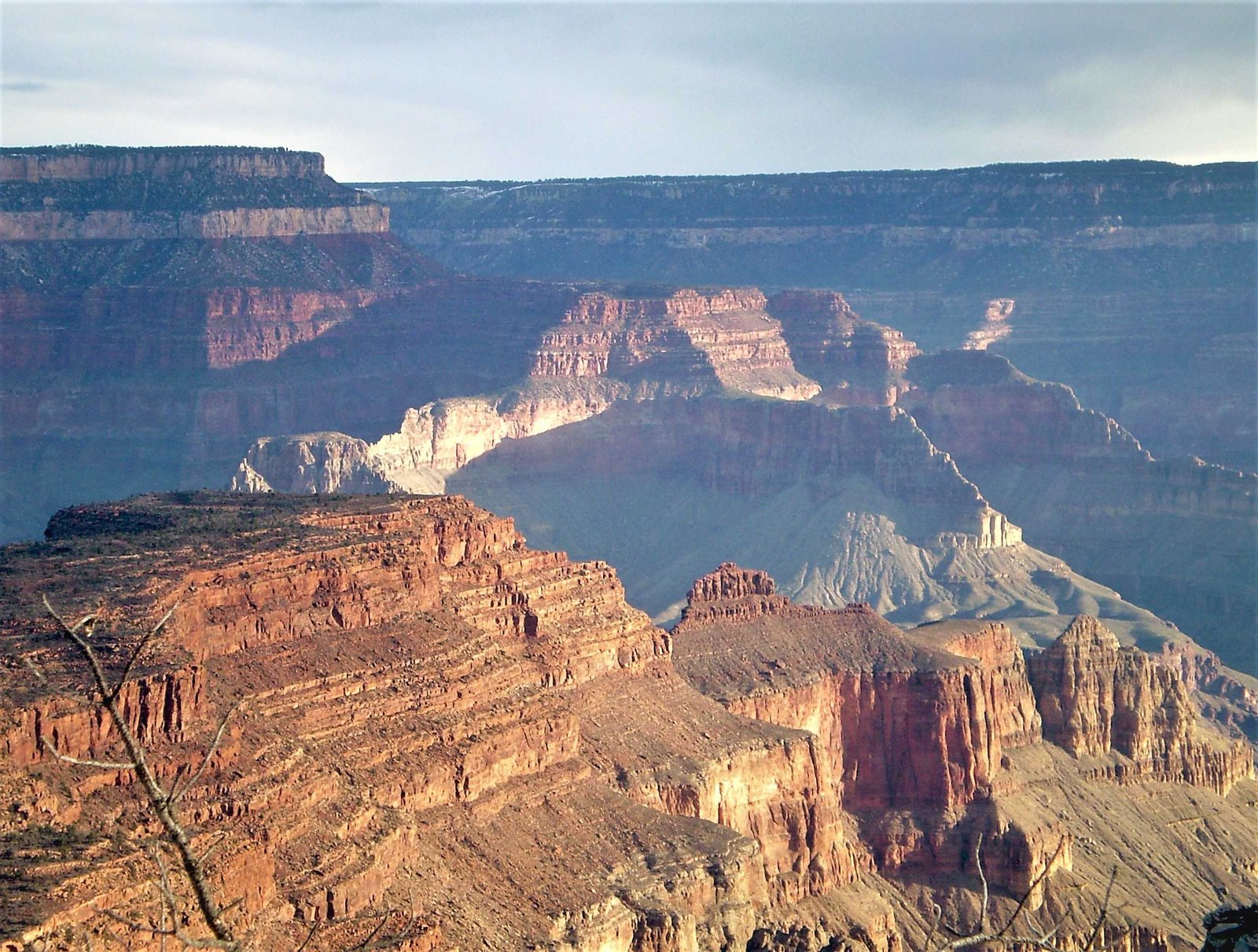
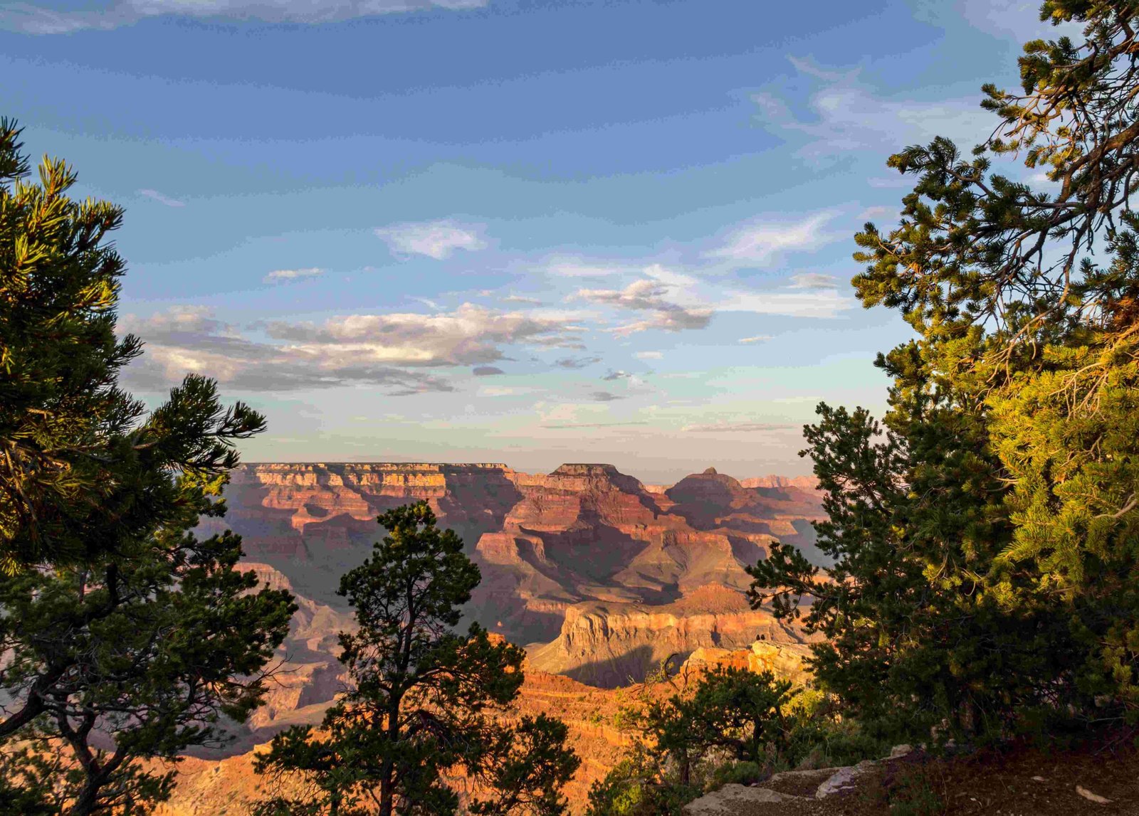
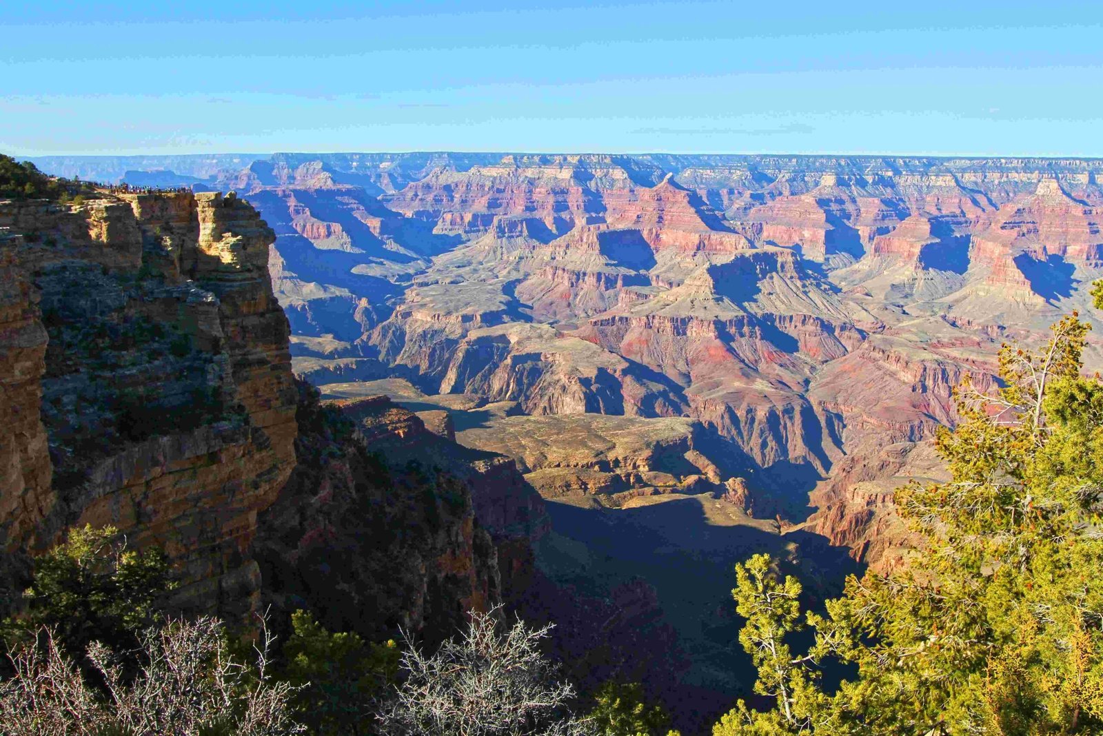
The Grand Canyon represents a monumental geological marvel, featuring an extraordinary depth profile that spans approximately 277 miles with maximum depths reaching 6,093 feet. This remarkable natural formation reveals millions of years of geological history through its complex layered structure, offering scientists and visitors an unparalleled window into Earth’s transformative processes.
What Makes the Grand Canyon Depth Unique?

How Deep is the Grand Canyon?
The Grand Canyon’s depth varies significantly across its extensive landscape. Here’s a comprehensive breakdown:
| Depth Measurement | Specific Value |
|---|---|
| Average Depth | 1 mile (5,280 feet) |
| Maximum Depth | 6,093 feet |
| Total Length | 277 miles |
| Maximum Width | 18 miles |
What Geological Layers Contribute to Canyon Depth?
The Grand Canyon’s depth is a result of multiple geological layers, each representing a different geological era:
- Upper Layers
- Kaibab Formation
- Toroweap Formation
-
Coconino Sandstone
-
Middle Layers
- Hermit Formation
- Supai Group
-
Redwall Limestone
-
Lower Layers
- Muav Limestone
- Bass Limestone
How Does Grand Canyon Compare with Other Canyons?
Comparative analysis reveals fascinating insights:
- Hells Canyon: Deepest in North America (8,043 feet)
- Barranca Del Cobre: Similar depth (6,165 feet)
- Royal Gorge: Significantly shallower (1,053 feet)
- New River Gorge: Eastern US deepest canyon (1,400 feet)
What Factors Influence Canyon Depth?
Several critical factors contribute to the Grand Canyon’s remarkable depth:
- Erosional Processes: Colorado River’s continuous water flow
- Geological Time: Approximately 5-6 million years of erosion
- Rock Composition: Varying rock hardness and resistance
- Tectonic Activities: Uplift of Colorado Plateau
How Can Visitors Explore Canyon Depth?
Recommended exploration methods:
- Guided Geological Tours
- Hiking Trails
- Rim Viewpoints
- River Rafting Expeditions
Scientific Significance of Depth Measurements
The Grand Canyon’s depth chart provides crucial insights:
- Reveals Earth’s geological history
- Demonstrates long-term erosional processes
- Offers climate change research opportunities
- Provides paleontological evidence
Technical Depth Specifications

Elevation Profile:
– North Rim: 8,000 feet above sea level
– South Rim: 7,000 feet above sea level
– Differential: Approximately 1,000 feet
Recommended Exploration Strategies
- Start at visitor centers
- Use professional geological guides
- Carry detailed topographical maps
- Understand safety protocols
Conclusion
The Grand Canyon depth chart represents more than numerical measurements—it’s a testament to geological complexity, revealing Earth’s transformative journey through millions of years of continuous change.

