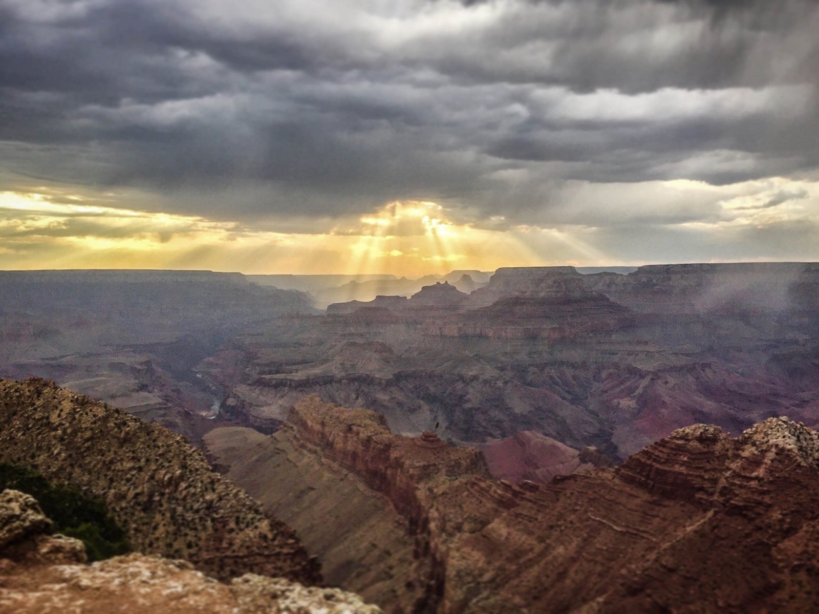
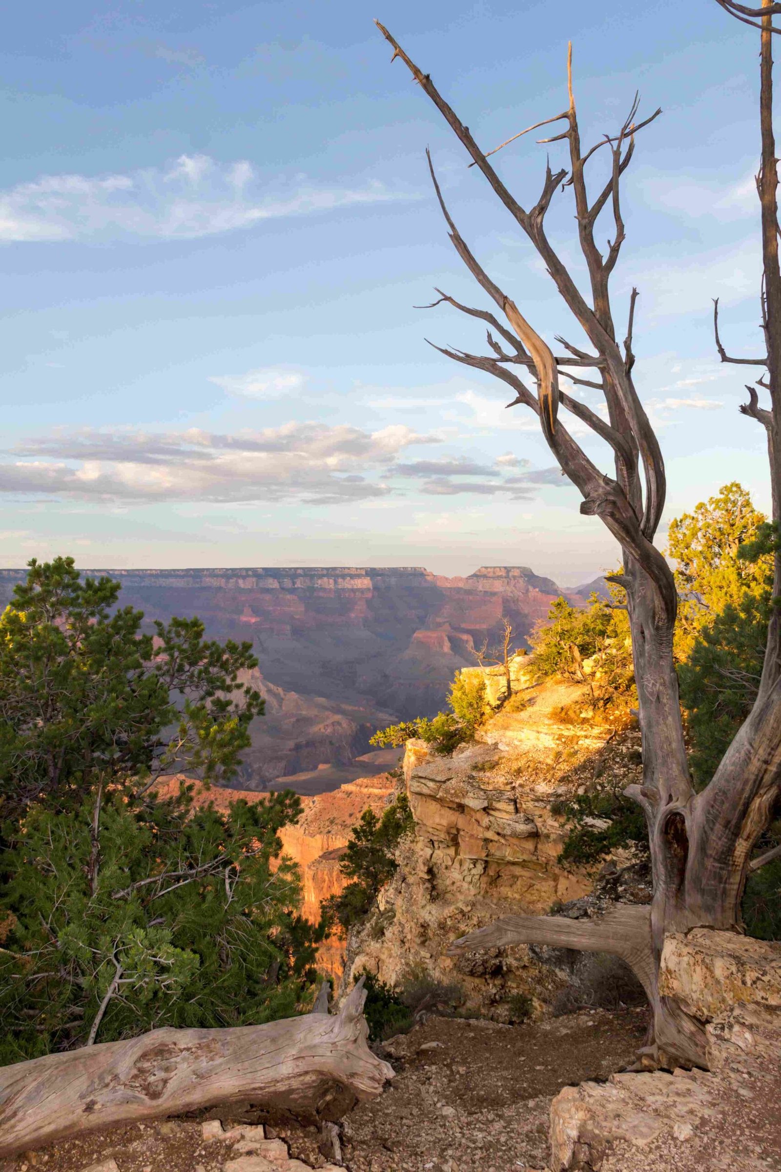
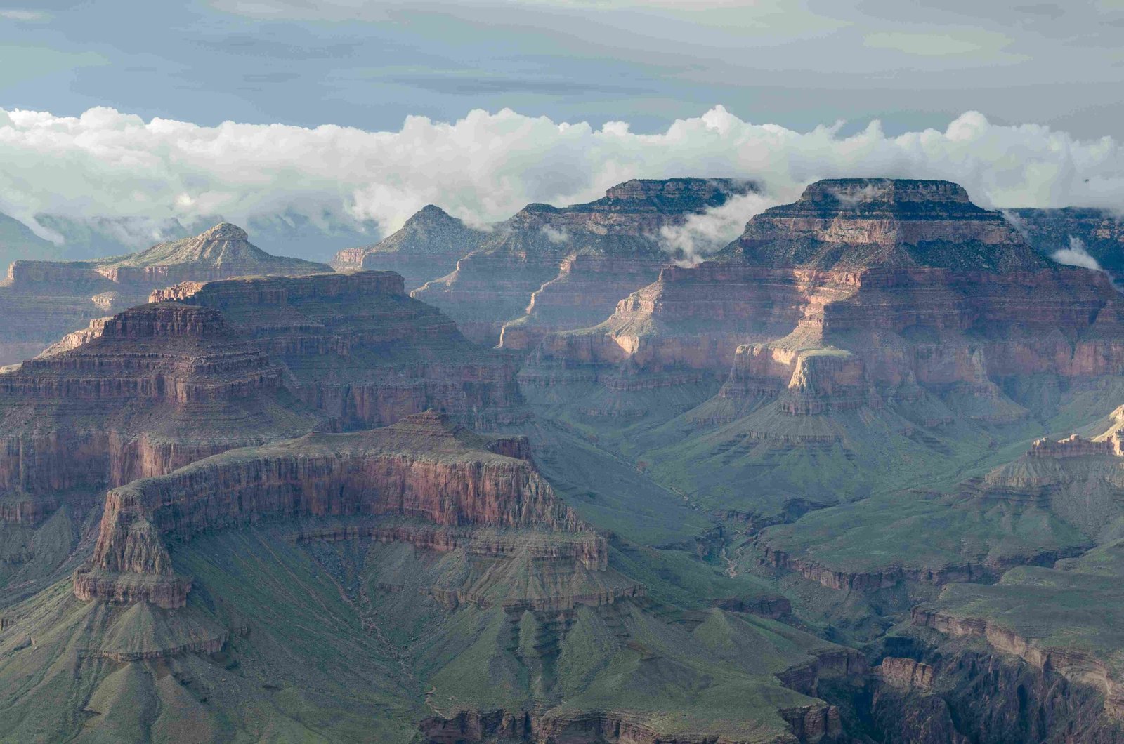
The Grand Canyon represents an extraordinary testament to geological transformation, where the Colorado River has systematically carved a massive 277-mile long, 18-mile wide canyon through relentless erosion processes spanning millions of years. This natural masterpiece reveals intricate layers of geological history, demonstrating how water can dramatically reshape Earth’s landscape through persistent, patient sculpting.
What Drives the Colorado River’s Erosive Power?

The Colorado River’s erosive capabilities stem from multiple interconnected factors:
Geological Mechanisms of Erosion
- Water Flow Dynamics
- Average river gradient: 7.5 feet per mile
- Water velocity ranges between 3-15 miles per hour
-
Sediment transportation capacity of approximately 500,000 tons annually
-
Rock Composition Vulnerability
- Sedimentary rock layers more susceptible to erosion
- Varying rock hardness influences erosion rates
- Differential erosion creates unique landscape features
How Old is the Grand Canyon’s Erosion Process?
The erosion timeline reveals a fascinating geological narrative:
| Geological Period | Erosion Characteristics |
|---|---|
| 75 Million Years Ago | Colorado Plateau initial uplift |
| 6 Million Years Ago | Ancestral Colorado River formation |
| 2 Million Years Ago | Accelerated canyon excavation during ice ages |
| 1.2 Million Years Ago | Near-current canyon depth achieved |
What Factors Influence Erosion Rates?

Several critical factors contribute to the Grand Canyon’s erosion:
- Climate Variations
- Ice age precipitation increases
- Seasonal temperature fluctuations
-
Monsoon rainfall intensity
-
Geological Composition
- Layered sedimentary rocks
- Differential rock resistance
- Volcanic activity interruptions
How Does the Colorado River Continue Eroding?
The river’s ongoing erosion process involves:
- Hydraulic action breaking rock fragments
- Abrasion through sediment transportation
- Chemical weathering of rock surfaces
- Continuous water flow cutting deeper channels
Quantitative Erosion Metrics
- Current erosion rate: 3 centimeters per 100 years
- Sediment transport: Reduced six-fold after Glen Canyon Dam construction
- Average canyon depth: Approximately 1 mile
- Canyon width: Ranges from 4 to 18 miles
What Makes the Erosion Unique?
The Grand Canyon’s erosion stands out due to:
- Unprecedented geological time scale
- Complex rock layer exposures
- Continuous transformation
- Minimal human intervention
Scientific Significance
Researchers consider the Grand Canyon a living laboratory for understanding:
– Long-term landscape evolution
– Climate change impacts
– Geological transformation processes
Preservation and Future Outlook
Modern conservation efforts focus on:
– Monitoring erosion rates
– Protecting geological formations
– Understanding environmental changes
Visitor Insights
Visitors can explore erosion features through:
– Guided geological tours
– Hiking trails
– Rim viewpoints
– Educational ranger programs
Conclusion
The Grand Canyon eroded by the Colorado River represents an ongoing, dynamic geological narrative—a testament to nature’s patient, powerful sculpting capabilities.

