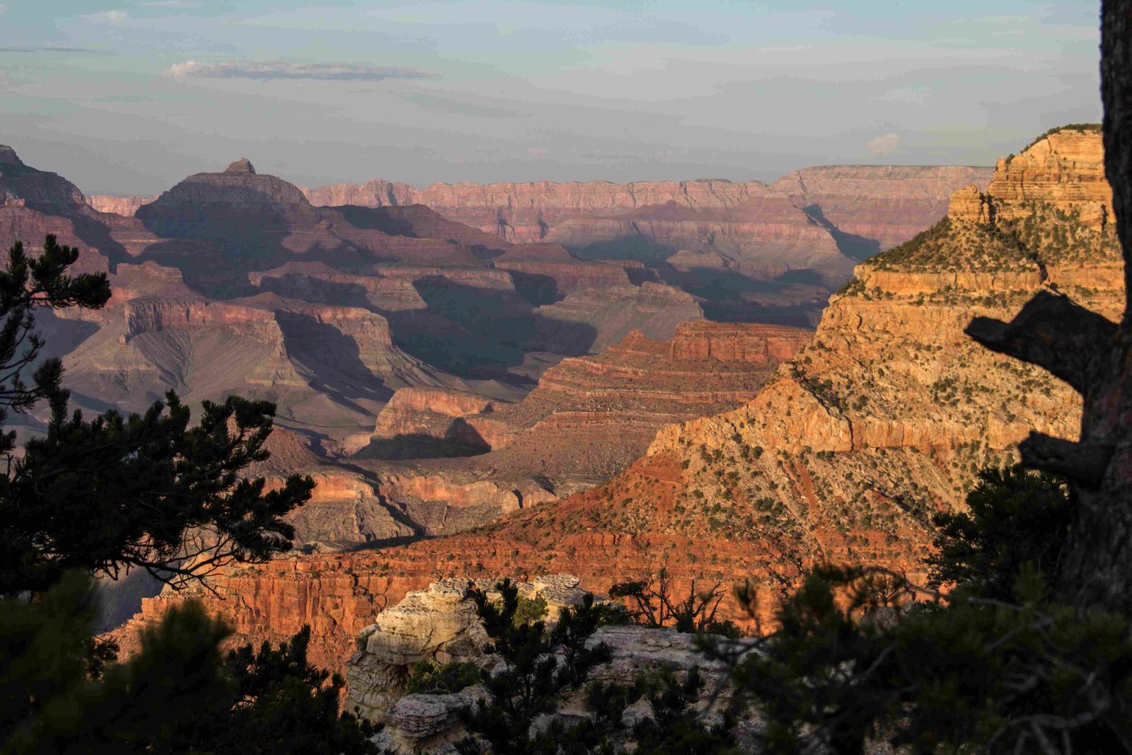
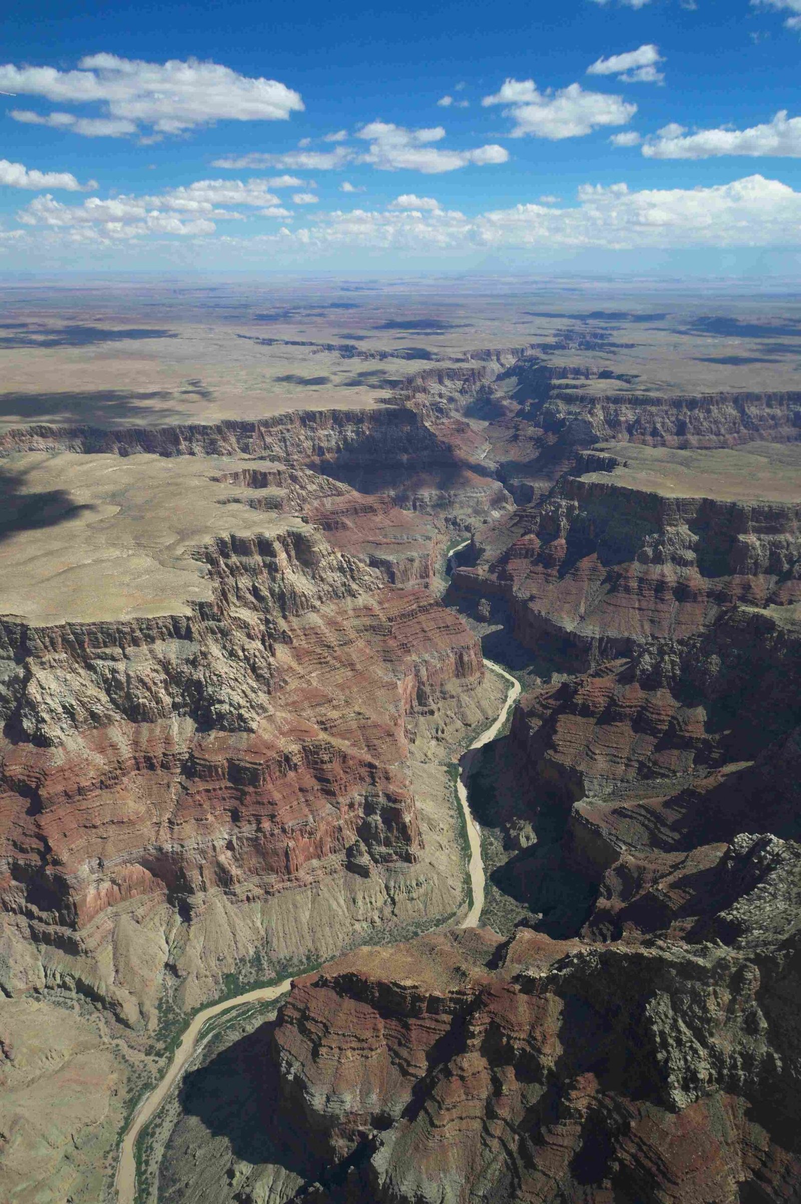
In the rugged terrain of Grand Canyon, hikers face unpredictable and potentially life-threatening flash flood scenarios. Recent events, such as the August 2024 Havasu Creek incident, dramatically illustrate the sudden and devastating potential of water events that can transform peaceful trails into dangerous torrents within minutes, stranding hundreds and requiring complex rescue operations.
What Makes Grand Canyon Flood Risks Unique?

Flash floods in Grand Canyon represent a complex interplay of geological and meteorological factors. The region’s distinctive characteristics create perfect conditions for rapid, dangerous water events:
Terrain Characteristics
- Steep canyon walls
- Limited vegetation
- Minimal water absorption capacity
- Narrow geological channels
Precipitation Dynamics
| Rainfall Intensity | Flood Potential | Response Time |
|---|---|---|
| Light Rain | Low | 30-60 minutes |
| Moderate Rain | Medium | 15-30 minutes |
| Heavy Rain | High | 5-15 minutes |
How Do Weather Patterns Trigger Floods?

Grand Canyon’s unique topography amplifies flood risks through several mechanisms:
- Rapid Runoff: Minimal soil absorption means water quickly channels through narrow passages
- Concentrated Water Flow: Canyon walls funnel water with tremendous velocity
- Distant Storm Effects: Rainfall miles away can trigger downstream flooding
- Temperature Variations: Sudden temperature changes impact precipitation patterns
What Emergency Protocols Exist for Hikers?
Immediate Safety Steps
- Monitor weather forecasts continuously
- Carry emergency communication devices
- Understand evacuation routes
- Pack emergency survival kit
- Know local ranger contact information
Rescue Coordination Strategies
The National Park Service employs multi-layered rescue approaches:
– Helicopter evacuations
– Ground search teams
– Emergency communication networks
– Tribal collaboration for remote rescues
What Warning Signs Should Hikers Recognize?
Critical flood indicators include:
– Sudden water level changes
– Unusual cloud formations
– Distant thunder
– Rapid temperature drops
– Muddy water appearance
– Floating debris
How Can Hikers Prepare Effectively?
Essential Preparation Checklist
- Waterproof communication devices
- GPS tracking
- Emergency beacon
- High-ground escape routes
- Multiple water-resistant layers
- Compact emergency shelter
What Are Recommended Communication Channels?
Emergency Contact Points:
– NPS ISB Tip Line: (888) 653-0009
– Grand Canyon Visitor Center
– Local Ranger Stations
– Tribal Emergency Services
Technical Flood Risk Assessment
Flood probability depends on multiple factors:
– Precipitation intensity
– Watershed characteristics
– Seasonal variations
– Geological terrain
Risk Calculation Matrix
| Risk Level | Precipitation | Response Required |
|---|---|---|
| Low | <0.5 inches | Standard monitoring |
| Moderate | 0.5-1 inch | Increased alertness |
| High | >1 inch | Immediate evacuation |
Survival Recommendations
- Stay calm and assess surroundings
- Move to higher ground immediately
- Avoid water crossings
- Signal rescue teams
- Conserve energy and resources
Final Safety Insights
Understanding Grand Canyon’s dynamic environment requires continuous learning and preparedness. Hikers must remain vigilant, respect nature’s unpredictability, and prioritize personal safety above all exploration goals.
Reference:
– National Park Service Weather Conditions
– Grand Canyon Emergency Guidelines
– Havasupai Tribal Council Updates

