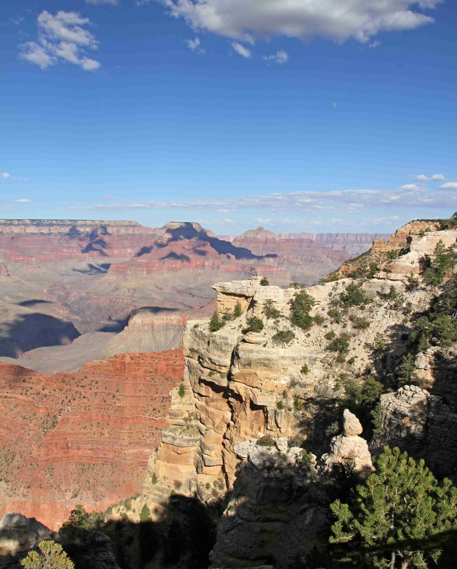
The Grand Canyon layers diagram represents a remarkable geological timeline spanning nearly 2 billion years, revealing Earth’s complex transformation through metamorphic basement rocks, sedimentary formations, and ancient marine environments. This extraordinary geological record exposes multiple rock layers that chronicle dramatic tectonic events, sea level changes, and environmental shifts across different geological eras.
What Makes the Grand Canyon Layers Diagram Unique?

The Grand Canyon layers diagram is a geological masterpiece that unveils Earth’s intricate history through three primary rock sets: Vishnu Basement Rocks, Grand Canyon Supergroup, and Layered Paleozoic Rocks. Each layer tells a fascinating story of geological processes and environmental transformations.
How Old Are the Vishnu Basement Rocks?
- Age Range: 1.84 to 1.375 billion years old
- Composition: Metamorphic and igneous rocks
- Formation Process: Created by volcanic island chain collisions
- Location: Exposed in Granite Gorges
- Significance: Represents the oldest rocks in the Grand Canyon
What Characterizes the Grand Canyon Supergroup?
The Grand Canyon Supergroup represents a critical period of geological transition, characterized by:
| Layer | Age (Million Years) | Thickness | Key Features |
|---|---|---|---|
| Unkar Group | 1255-729 | Approximately 12,000 feet | Sedimentary and volcanic rocks |
| Chuar Group | 729-542 | Varies | Tilted rock layers |
Unique Geological Characteristics
- Deposited during supercontinent Rodinia’s assembly
- Tilted approximately 15 degrees
- Evidence of significant tectonic activity
What Are the Layered Paleozoic Rocks?
Layered Paleozoic Rocks represent marine and coastal environments from 530 to 270 million years ago. Key formations include:
- Tapeats Sandstone
- Age: 525 million years
-
Formed in near-shore beach environments
-
Bright Angel Shale
- Age: 515 million years
- Contains brachiopod and trilobite fossils
-
Distinctive green color from glauconite minerals
-
Redwall Limestone
- Age: 340 million years
- Thick-bedded marine limestone
- Rich in marine organism fossils
How Did the Grand Canyon Form?
The Grand Canyon’s formation involved multiple geological processes:
– Tectonic plate movements
– Sea level fluctuations
– Volcanic activities
– Erosion by the Colorado River
– Continuous uplift of the Colorado Plateau
Viewing the Grand Canyon Layers Diagram

Best Viewpoints
- Desert View
- Lipan Point
- Moran Point
- Grand Canyon Village Visitor Center
Recommended Exploration Methods
- Ranger-guided geological tours
- Professional geological field trips
- Self-guided interpretive trails
- Educational visitor center exhibits
Scientific Significance
The Grand Canyon layers diagram provides unprecedented insights into:
– Earth’s geological evolution
– Ancient marine ecosystems
– Tectonic plate movements
– Climate change patterns
– Fossil record preservation
Practical Visitor Information
- Accessibility: Multiple viewpoints and trails
- Best Viewing Season: Spring and Fall
- Recommended Gear:
- Binoculars
- Geological field guide
- Comfortable walking shoes
- Sun protection
Research Opportunities
Geologists and researchers continue to study the Grand Canyon layers diagram to:
– Understand planetary geological processes
– Analyze climate change historical records
– Investigate ancient marine life
– Map tectonic plate movements
Technical Exploration Methods
- Radiometric dating
- Fossil analysis
- Stratigraphic mapping
- Advanced geological surveying techniques
Conclusion
The Grand Canyon layers diagram represents more than a visual representation—it’s a profound narrative of our planet’s geological history, offering unprecedented insights into Earth’s transformative journey across billions of years.

