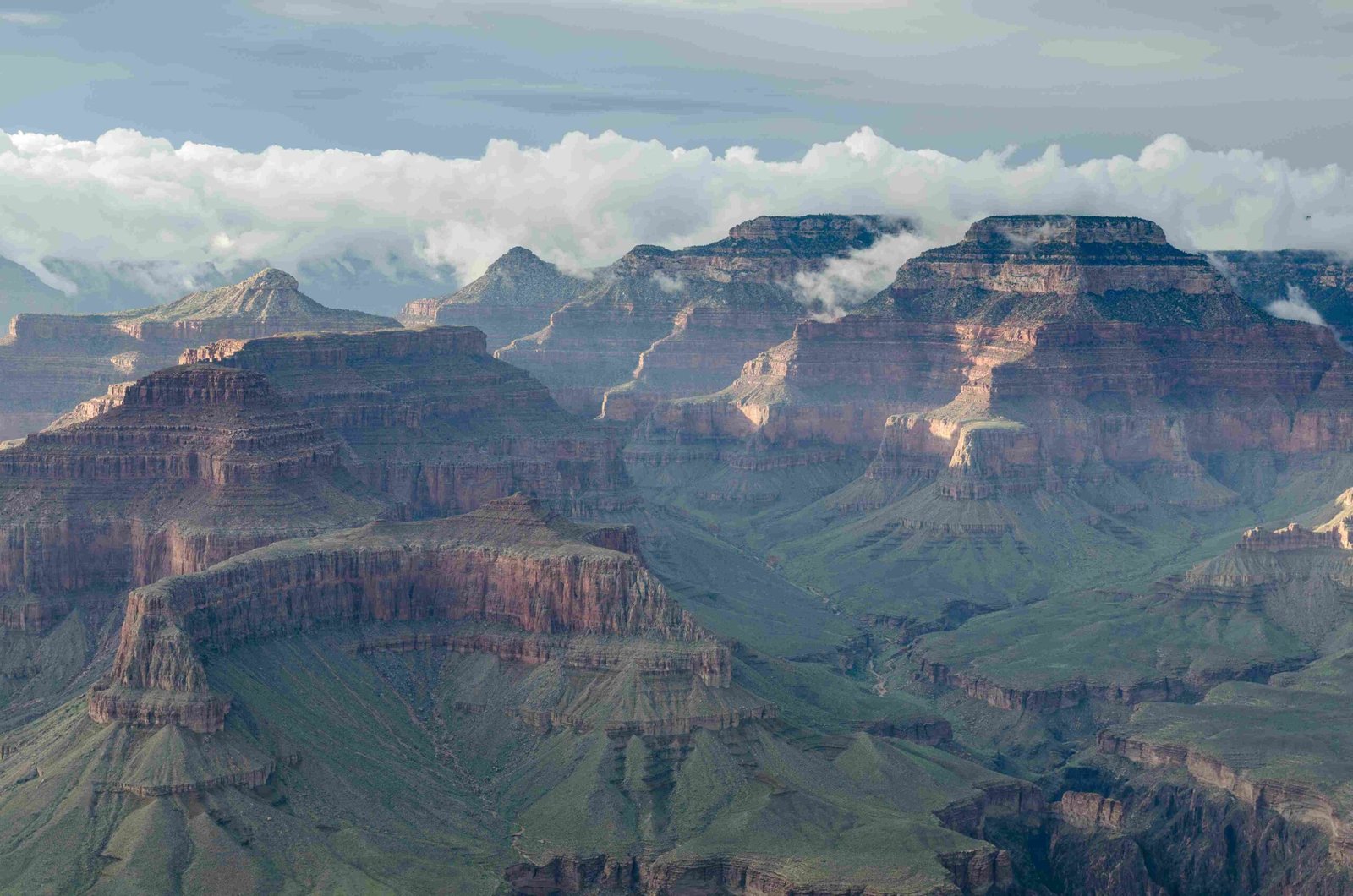
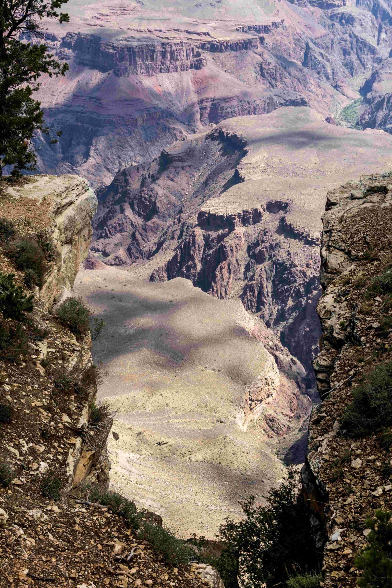
The Grand Canyon terrain represents a breathtaking geological marvel spanning 277 miles, revealing nearly 2 billion years of Earth’s complex geological history. This extraordinary landscape features dramatic elevation changes, ranging from 2,400 feet at the Colorado River to 8,200 feet at the North Rim, with diverse rock formations, ecosystems, and erosional processes that have sculpted one of the world’s most remarkable natural wonders.
What Makes Grand Canyon Terrain Unique?

How Deep and Wide is the Grand Canyon?
The Grand Canyon’s terrain is characterized by its immense scale:
– Average Depth: 4,000 feet
– Maximum Depth: 6,000 feet
– Width: 18 miles at its widest point
– Length: 277 miles
What Rock Layers Compose the Terrain?
| Rock Layer | Age | Characteristics |
|---|---|---|
| Vishnu Schist | 1.8 billion years | Oldest exposed rocks |
| Redwall Limestone | 340 million years | Prominent limestone formation |
| Coconino Sandstone | 260 million years | Cross-bedded sandstone |
| Kaibab Limestone | 245-260 million years | Forms canyon rim |
What Ecosystems Exist in the Grand Canyon?
The Grand Canyon terrain hosts multiple life zones equivalent to traveling from Mexico to Canada:
1. Lower Sonoran Zone
2. Upper Sonoran Zone
3. Transition Zone
4. Canadian Zone
5. Hudsonian Zone
How Does Erosion Shape the Terrain?
Water and wind have been primary sculptors of the Grand Canyon terrain:
– Colorado River: Primary erosional force
– Erosion Rate: Approximately 1 foot per 100 years
– Key Erosional Features:
– Inner Gorge
– Plateaus
– Mesas
– Steep cliff walls
What Are the Major Topographical Features?
The Grand Canyon terrain includes several significant topographical elements:
– Colorado River
– Kaibab Plateau
– Rocky cliffs
– Sandy riverbeds
– Diverse geological formations
How Do Hiking Trails Reveal Terrain Characteristics?
Major trails provide unique terrain perspectives:
Bright Angel Trail
- Distance: 9.5-19 miles round trip
- Difficulty: Strenuous
- Elevation Change: 7,200 to 2,400 feet
- Geological Layers Traversed:
- Kaibab Limestone
- Coconino Sandstone
- Tonto Group
South Kaibab Trail
- Distance: 6.5-14.5 miles round trip
- Difficulty: Strenuous
- Elevation Change: 7,200 to 2,400 feet
- Unique Terrain Features: Exposed rock layers, dramatic canyon views
What Scientific Significance Does the Terrain Hold?
The Grand Canyon terrain serves as a remarkable geological textbook, offering:
– Comprehensive rock layer exposure
– Evidence of ancient geological processes
– Insights into Earth’s climatic and geological transformations
How Can Visitors Best Experience the Terrain?
Recommended terrain exploration methods:
1. Guided geological tours
2. Hiking designated trails
3. Rim viewpoint observations
4. Professional ranger-led programs
5. Photography expeditions
Conclusion

The Grand Canyon terrain represents an extraordinary geological landscape that continues to fascinate scientists, geologists, and nature enthusiasts worldwide. Its complex composition, dramatic formations, and ongoing erosional processes make it a living museum of Earth’s geological history.

