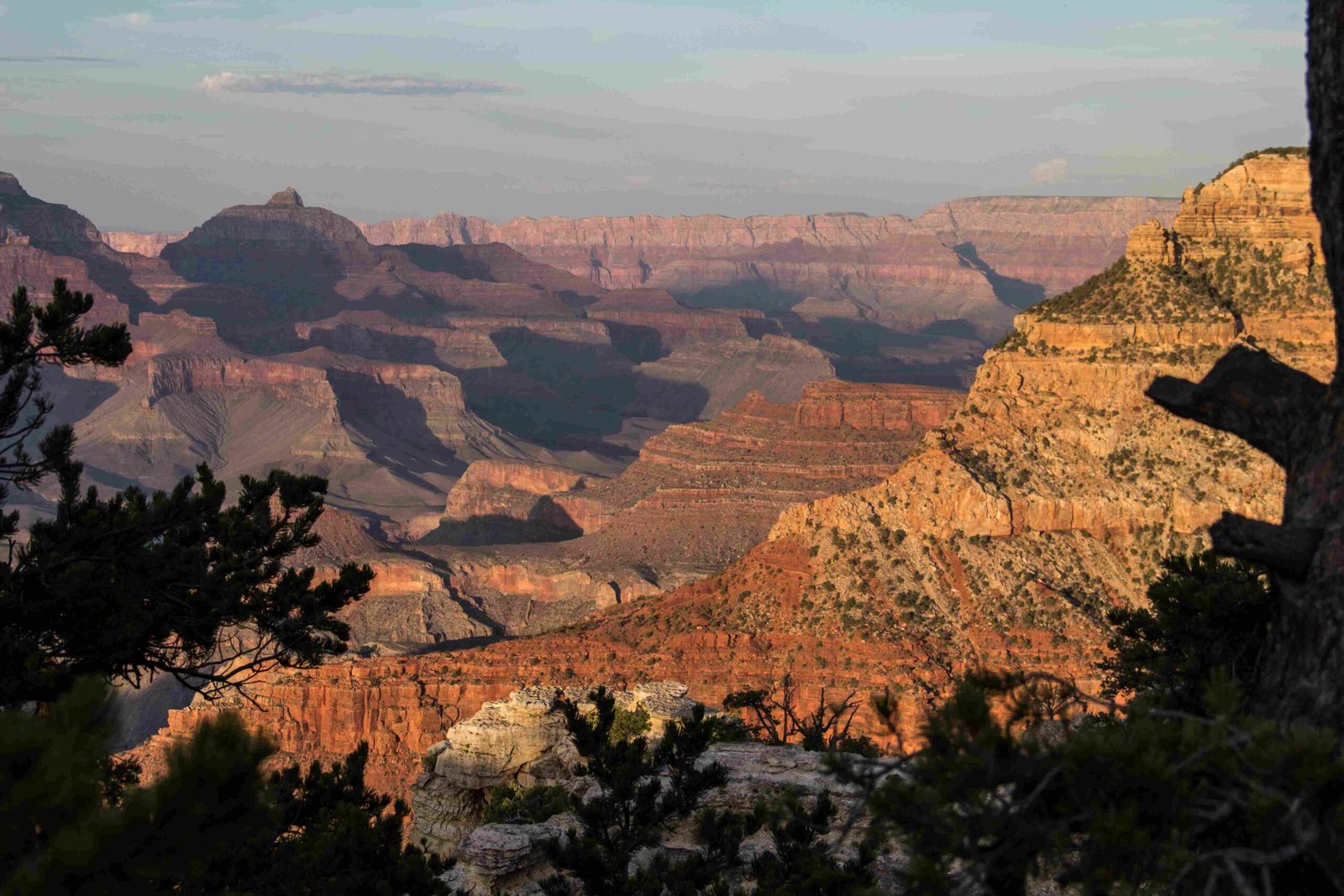
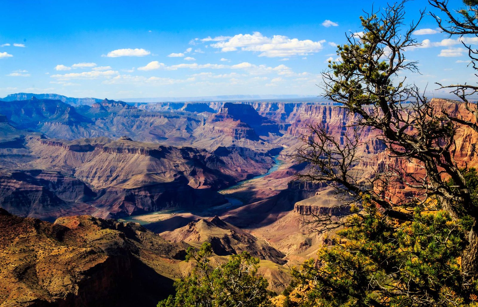
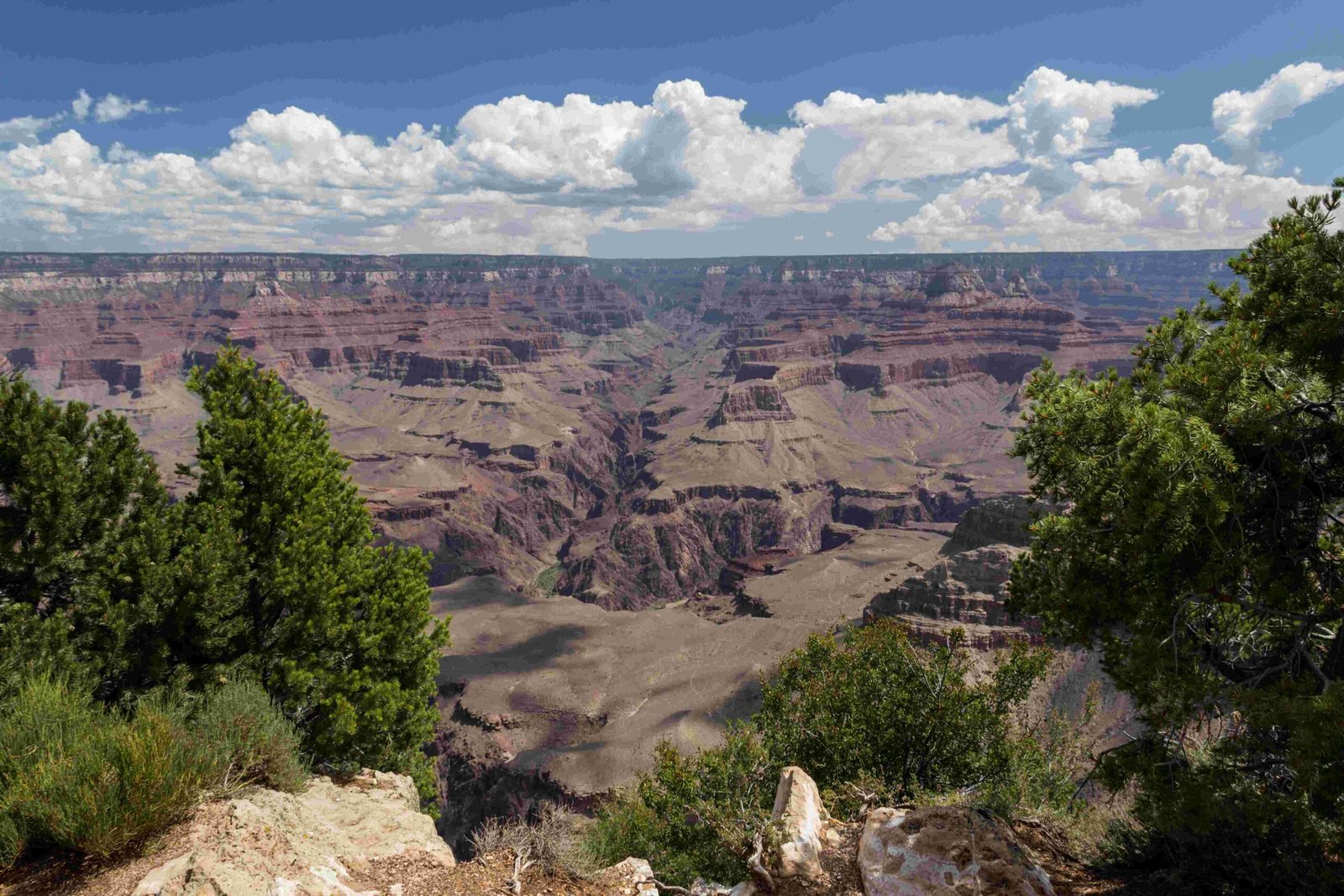
The United States Geological Survey (USGS) has been instrumental in documenting and understanding the Grand Canyon’s complex geological landscape through comprehensive mapping, scientific research, and detailed topographical studies. Their extensive work provides critical insights into the geological formation, rock layers, and environmental dynamics of one of the world’s most remarkable natural landscapes.
What Makes USGS Grand Canyon Research Unique?

How Do USGS Maps Capture the Grand Canyon’s Complexity?
USGS maps of the Grand Canyon represent extraordinary scientific precision and detail. These maps are not merely geographical representations but comprehensive scientific documents that reveal the intricate geological history spanning millions of years.
Key Mapping Characteristics
| Map Type | Scale | Dimensions | Primary Focus |
|---|---|---|---|
| Topographic Map | 1:62,500 | 59.5″x37.5″ | Physical Terrain |
| Geological Map | 1:100,000 | 58″x41″ | Rock Formations |
What Methodological Approaches Define USGS Grand Canyon Research?
The USGS employs multiple sophisticated research techniques:
- Field Observations: Direct geological investigations
- Rock Sampling: Collecting and analyzing geological specimens
- Remote Sensing: Utilizing satellite and aerial imaging technologies
- GIS Mapping: Creating detailed digital geological representations
What Specific Data Do USGS Researchers Collect?
USGS researchers focus on collecting comprehensive data including:
- Stratigraphic information
- Structural geological details
- Geomorphological characteristics
- Rock layer composition
- Geological age determination
How Does USGS Research Contribute to Scientific Understanding?
The USGS research provides critical insights into:
- Geological formation processes
- Climate change historical records
- Erosion patterns
- Tectonic activity
- Environmental transformation over geological time
What Technological Tools Support USGS Grand Canyon Research?
Modern USGS research leverages advanced technologies:
- High-resolution satellite imagery
- LiDAR scanning
- Advanced spectral analysis equipment
- Sophisticated geological modeling software
Why Are USGS Grand Canyon Maps Scientifically Significant?
USGS maps serve multiple critical functions:
- Provide precise geological documentation
- Support conservation efforts
- Enable scientific research
- Support geological risk assessment
- Facilitate educational understanding
Practical Applications of USGS Grand Canyon Research

The research extends beyond academic interest, supporting:
- National park management
- Environmental conservation strategies
- Climate change research
- Geological hazard prediction
- Educational resource development
How Can Researchers Access USGS Grand Canyon Data?
Researchers and interested parties can access USGS data through:
- Official USGS website
- Digital map repositories
- Scientific publication databases
- Direct contact with USGS research teams
Conclusion
The USGS continues to be a pivotal organization in understanding the Grand Canyon’s geological complexity, providing invaluable scientific insights that transcend mere geographical mapping.

