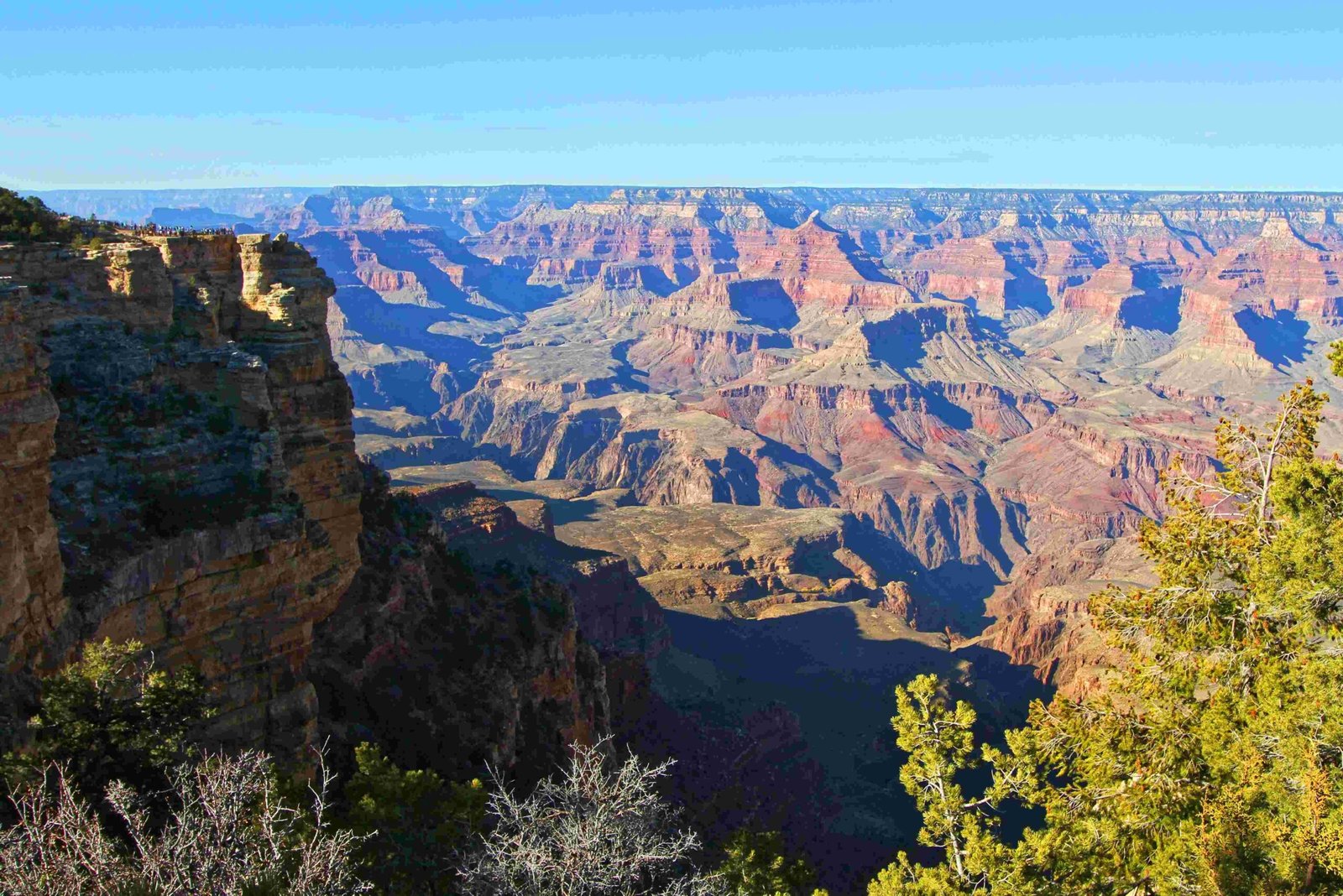
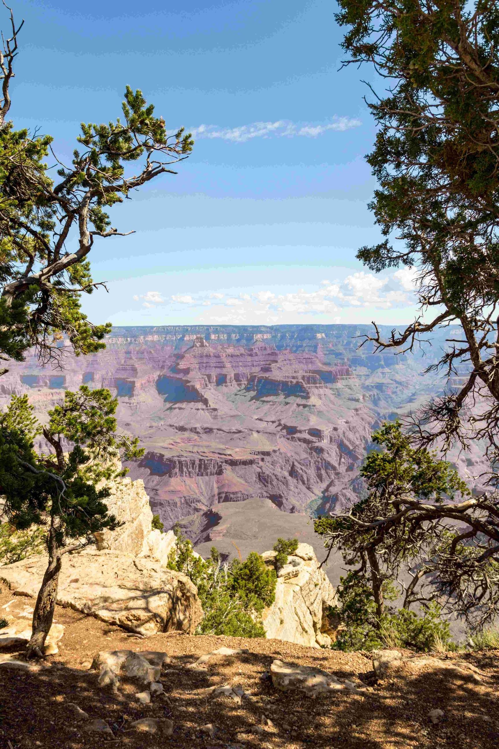
The Grand Canyon stands as a testament to the extraordinary power of erosion, where the Colorado River meticulously carved a massive landscape over approximately 5-6 million years. Through a complex interplay of water, sediment, and geological forces, this natural wonder transformed from a flat plateau into a breathtaking 277-mile-long canyon with depths exceeding 6,000 feet, revealing millions of years of Earth’s geological history.
What Triggered the Erosion Process?

How Did Tectonic Movements Contribute?
The erosion of the Grand Canyon began with significant tectonic events:
- Colorado Plateau Uplift: Approximately 70 million years ago, tectonic movements raised the Colorado Plateau
- Increased Potential Energy: The uplift gave the Colorado River more gravitational force to cut through rock layers
- Accelerated Erosion Mechanism: Higher elevation created faster water flow and increased sediment abrasion
What Role Did the Colorado River Play?
The Colorado River acted as the primary erosion agent through several mechanisms:
| Erosion Mechanism | Description | Impact |
|---|---|---|
| Mechanical Erosion | Sediment-laden water acting like sandpaper | Gradual rock layer removal |
| Water Flow Dynamics | Seasonal flooding and variable water volumes | Carved intricate canyon pathways |
| Sediment Abrasion | Rocks and sand particles grinding against canyon walls | Continuous landscape transformation |
How Deep Did Erosion Penetrate?
Erosion penetrated multiple geological layers, exposing a remarkable geological timeline:
- Surface Layers:
- Kaibab Limestone (canyon rim)
- Toroweap Formation
-
Coconino Sandstone
-
Intermediate Layers:
- Hermit Formation
-
Bass Limestone
-
Foundational Layers:
- Metamorphic rocks
- Igneous granites (Inner Gorge)
What Makes Grand Canyon’s Erosion Unique?

Geological Time Scale
- Erosion Duration: Approximately 5-6 million years
- Canyon Formation: Reached current configuration around 1.2 million years ago
- Continuous Process: Ongoing erosion continues to reshape the landscape
Quantitative Erosion Insights
- Canyon Dimensions:
- Length: 277 river miles
- Width: Up to 18 miles
- Maximum Depth: Over 6,000 feet
Factors Accelerating Erosion
- Seasonal water flow variations
- Sediment concentration
- Rock layer composition
- Tectonic plateau uplift
How Can Visitors Experience Erosion’s Impact?
Recommended Exploration Methods
- Guided Geological Tours
- Ranger-Led Educational Programs
- Hiking Trails Showcasing Rock Layers
- Visitor Center Exhibits
Best Viewpoints for Geological Observation
- South Rim Viewpoints
- North Rim Overlooks
- Yavapai Geology Museum
- Colorado River Rafting Expeditions
Scientific Significance
The Grand Canyon represents more than a scenic landscape—it’s a living geological textbook demonstrating Earth’s dynamic transformation processes. Each rock layer tells a story of environmental changes, tectonic movements, and the relentless power of water.
Research Opportunities
- Paleontological studies
- Climate change research
- Geological formation understanding
- Erosion process documentation
Preservation and Conservation
Ongoing research and conservation efforts ensure that this natural wonder continues to provide insights into geological processes while maintaining its ecological integrity.
Reference:
– National Park Service – Grand Canyon Geology
– United States Geological Survey
– Arizona Geological Survey

