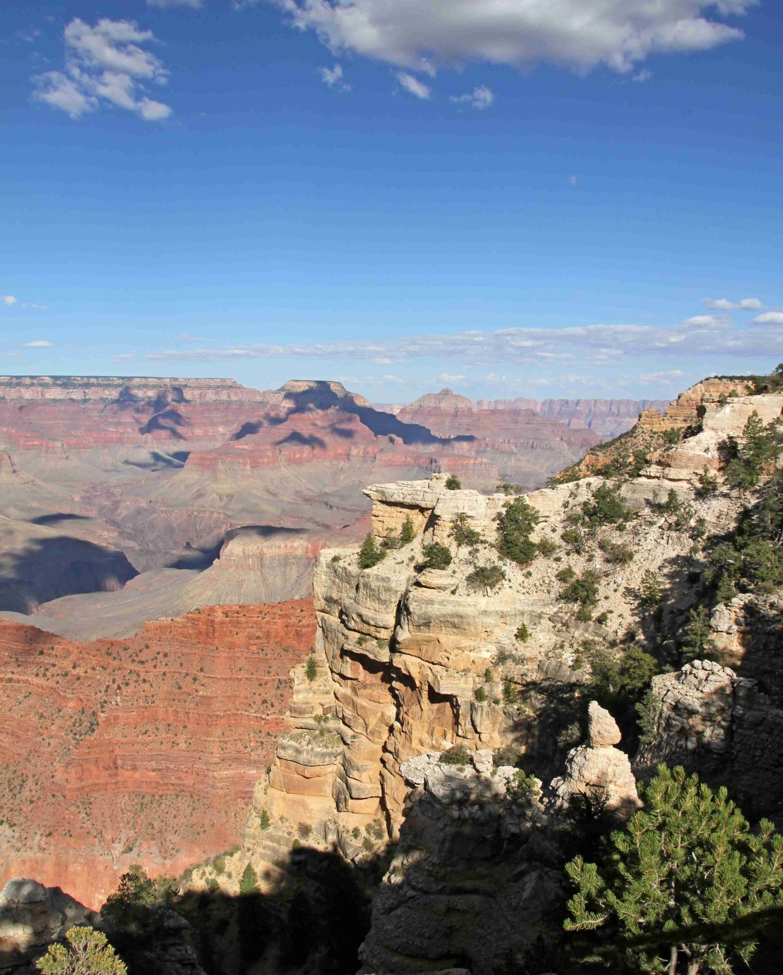
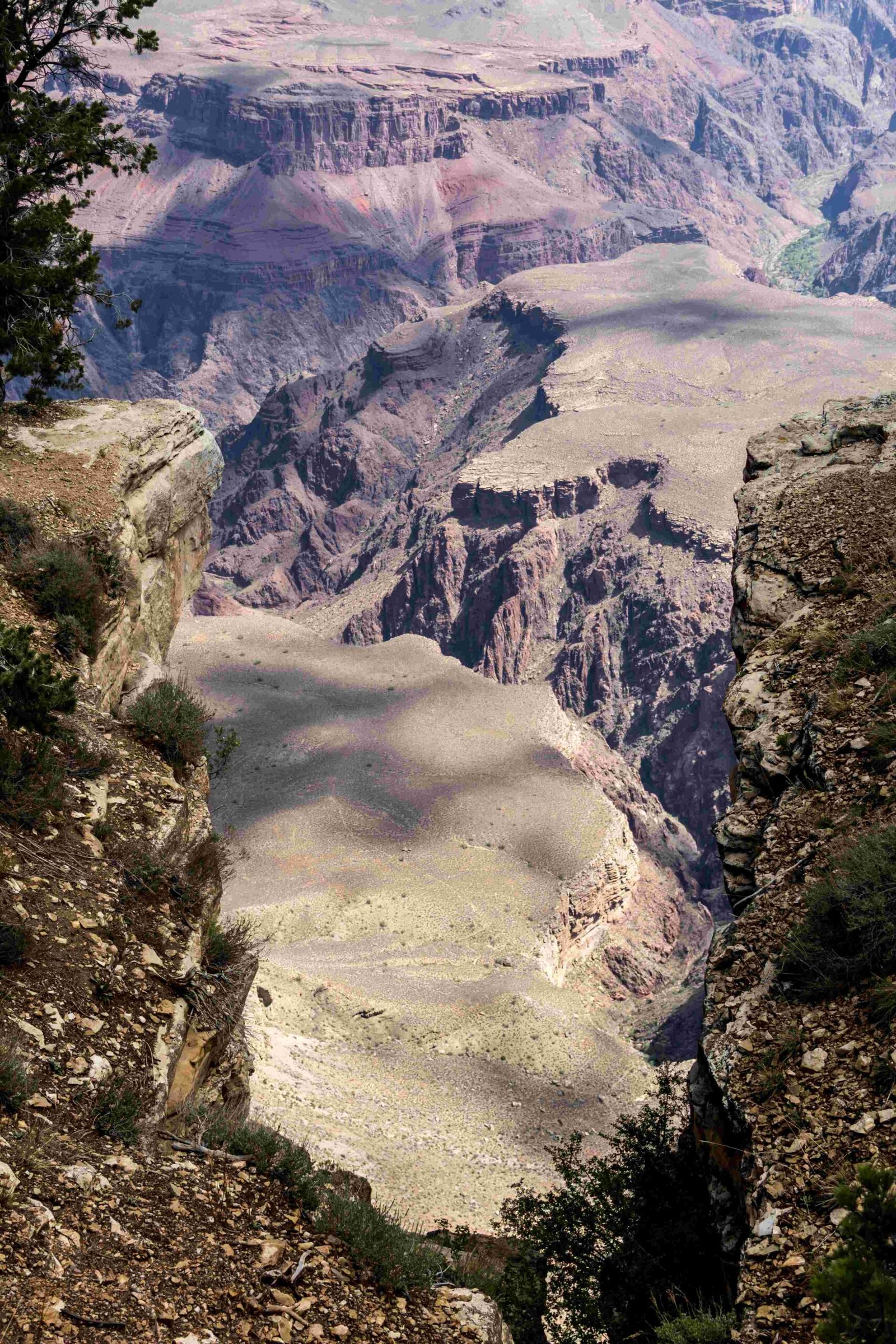
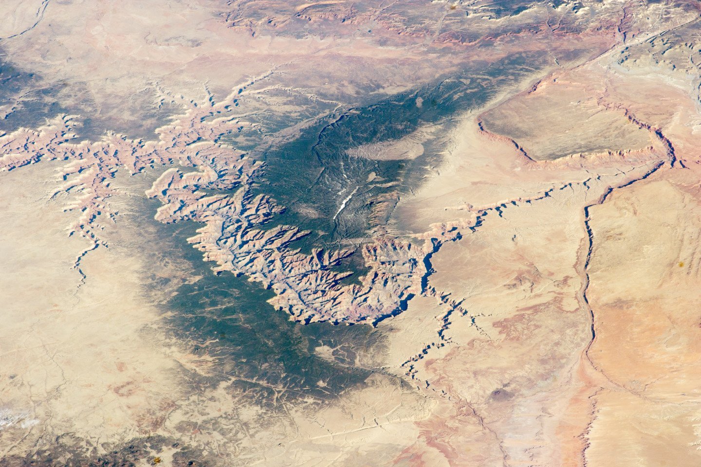
Travelers seeking to explore the majestic Grand Canyon have multiple interstate routes connecting them to this natural wonder. Interstate 40 and Interstate 17 provide strategic access points to both the South and North Rims, offering scenic drives through Arizona’s diverse landscapes. Understanding these routes is crucial for planning a seamless and memorable journey to one of America’s most iconic national parks.
What Interstate Connects to the Grand Canyon South Rim?

Interstate 40: Primary Route to Grand Canyon
Interstate 40 serves as the primary highway for accessing the Grand Canyon’s South Rim. Travelers can follow these specific navigation strategies:
Driving Directions from I-40
- Exit 165 at Williams, Arizona
- Take Highway 64 (AZ-64) north
- Drive approximately 60 miles directly to South Rim entrance
| Route Segment | Distance | Estimated Time |
|---|---|---|
| I-40 to Williams | 30 miles | 30 minutes |
| Williams to South Rim | 60 miles | 1-1.5 hours |
| Total Journey | 90 miles | 2 hours |
How to Reach Grand Canyon from Interstate 17?
Travelers on Interstate 17 can access the Grand Canyon through a connected route:
- Take I-17 north from Phoenix
- Connect to I-40 westbound
- Exit at Williams (Exit 165)
- Follow Highway 64 north to South Rim
Key Travel Considerations
- Total driving distance from Phoenix: Approximately 235 miles
- Estimated travel time: 3-4 hours
- Recommended vehicle: Standard passenger car or SUV
What Are the Road Conditions?
Both Interstate 40 and Interstate 17 offer well-maintained highways with:
– Multiple fuel stations
– Clear signage
– Consistent road quality
– Scenic desert and mountain views
North Rim Access Strategies
For adventurers targeting the North Rim:
– Use Interstate 40 as primary approach
– Take Highway 89 to Highway 89A
– Connect to Highway 67
– Seasonal Limitation: Open mid-May to mid-October
Pro Travel Tips

- Check weather conditions before departure
- Carry extra water and emergency supplies
- Purchase park entrance pass in advance
- Consider off-peak travel times to avoid crowds
Parking and Entrance Information
| Location | Parking Availability | Entrance Fee | Peak Season |
|---|---|---|---|
| South Rim | Large lots | $35 per vehicle | May-September |
| North Rim | Limited spaces | $35 per vehicle | Mid-May-Mid-October |
Recommended Preparation
- Fill gas tank before leaving major highways
- Download offline maps
- Check vehicle maintenance
- Bring national parks pass if applicable
Final Navigation Insights
Successful Grand Canyon access depends on strategic interstate selection. Interstate 40 remains the most direct and reliable route, offering consistent connectivity to both South and North Rims.
Recommended Vehicle Types
- Sedans
- SUVs
- RVs (with caution on narrower roads)
- Rental vehicles with good ground clearance
Pro Tip: Always verify current road conditions and park accessibility before embarking on your journey.
Elevation and Driving Considerations
- South Rim elevation: 7,000 feet
- North Rim elevation: 8,800 feet
- Potential altitude adjustment required
Conclusion
Interstate 40 and Interstate 17 provide comprehensive access to the Grand Canyon, offering travelers multiple route options with unique scenic experiences. Proper planning and understanding of these interstate connections ensure a smooth and memorable national park adventure.

