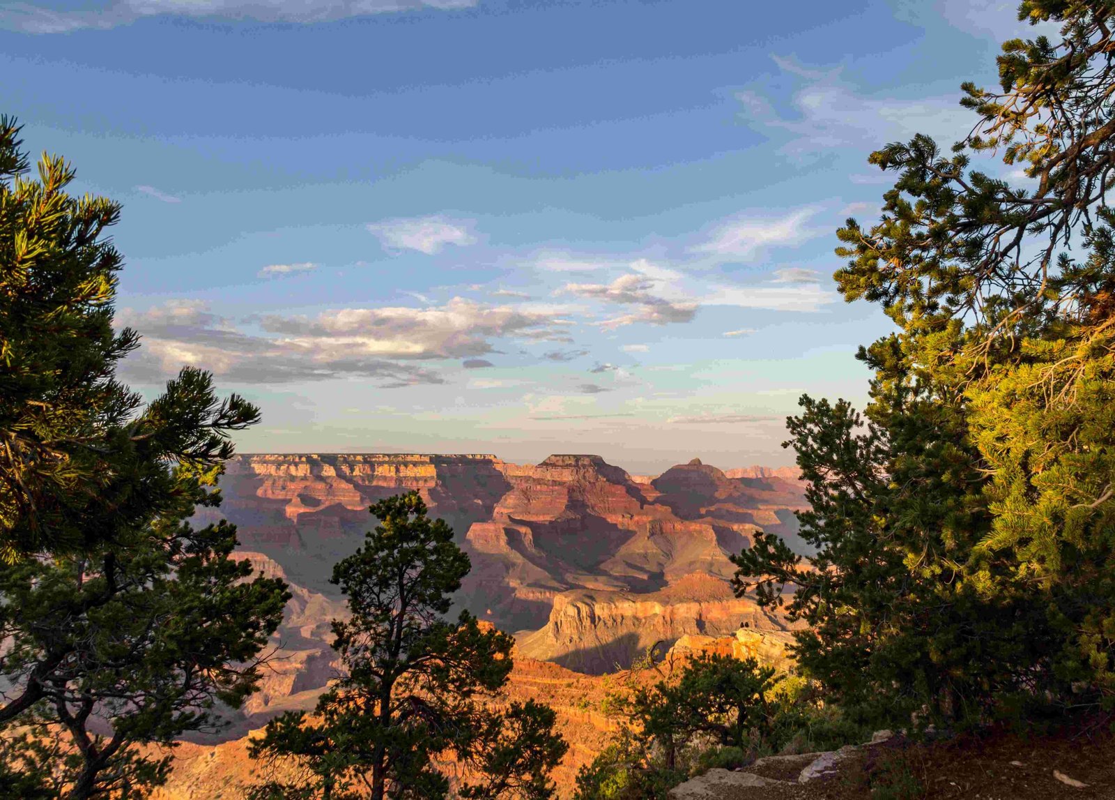
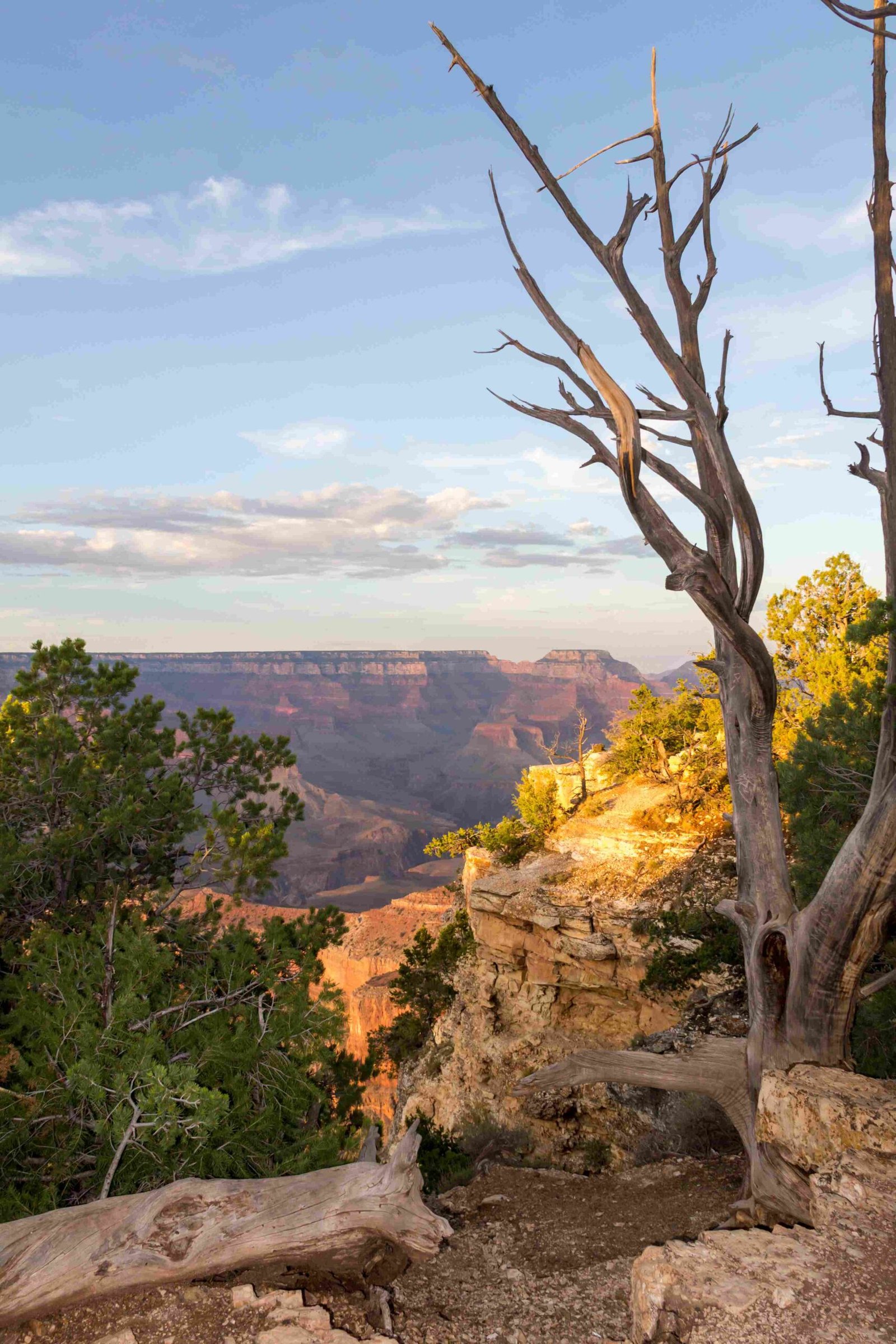
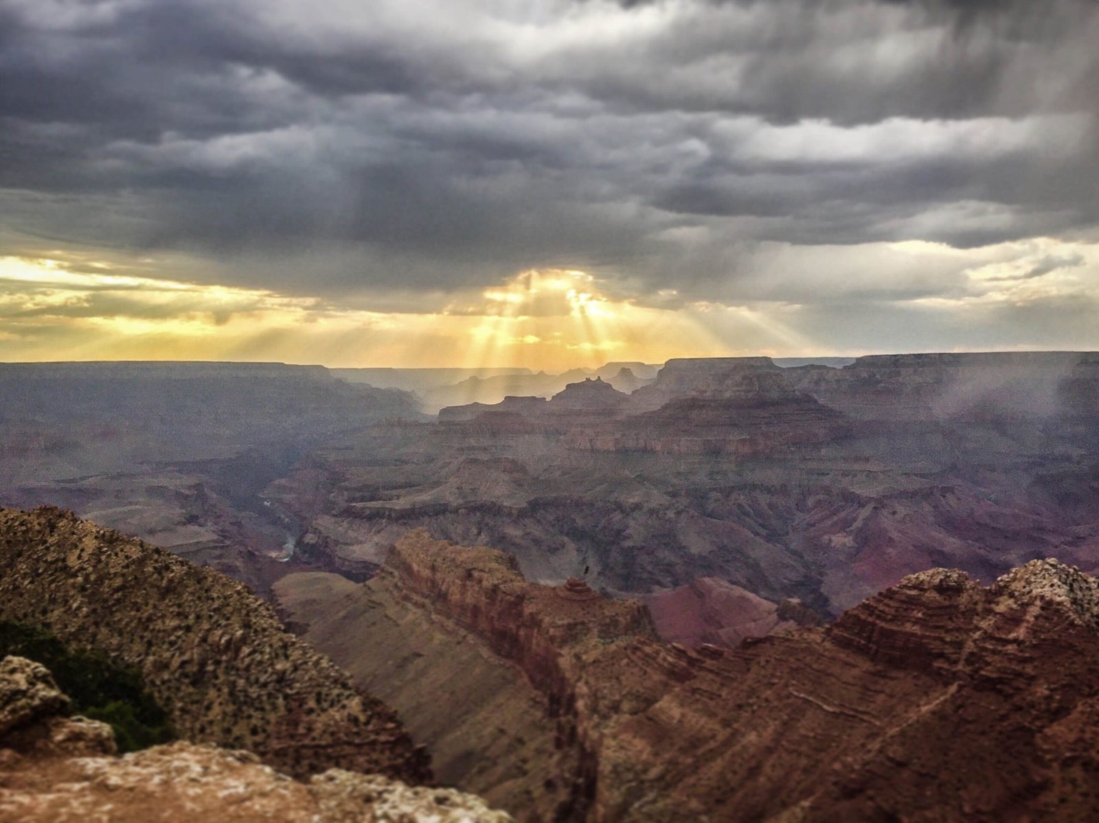
The Colorado River, a powerful geological sculptor, has spent approximately 5-6 million years carving the magnificent Grand Canyon through persistent erosion and sediment transport. Originating in the Rocky Mountains, this remarkable river has cut through multiple rock layers, exposing nearly 2 billion years of Earth’s geological history, creating a natural wonder that stretches 277 miles long, up to 18 miles wide, and over a mile deep.
What Makes the Colorado River Unique in Canyon Formation?

The Colorado River’s geological significance stems from its extraordinary erosion capabilities. Unlike other rivers, it has:
- Consistently maintained a powerful flow
- Carried substantial sedimentary materials
- Experienced significant tectonic uplift in the region
- Maintained a relatively stable course over millions of years
How Deep is the Erosion Process?
| Rock Layer | Depth | Age |
|---|---|---|
| Mesozoic Strata | Partial | 252-66 million years |
| Paleozoic Strata | Complete | 541-252 million years |
| Precambrian Basement | Exposed | Over 1 billion years |
What Geological Factors Contributed to Canyon Formation?
The Grand Canyon’s formation resulted from a complex interplay of geological processes:
- Tectonic Uplift: The Colorado Plateau’s gradual rise
- Erosional Forces: River’s continuous cutting action
- Climate Changes: Variations in water volume and sediment load
- Rock Composition: Differential erosion of various rock types
Where Does the Colorado River Begin Its Journey?

The Colorado River originates in the Rocky Mountains of Colorado, specifically in Grand County, at an elevation of approximately 10,000 feet. Its journey begins as a small mountain stream and transforms into a powerful river that ultimately carves through multiple geological layers.
River Statistics
- Total Length: Approximately 1,450 miles
- Average Flow Rate: 20,000 cubic feet per second
- Drainage Basin: Covers seven U.S. states and parts of Mexico
- Water Usage: Critical for agriculture and hydroelectric power
What Rock Layers Are Exposed in the Grand Canyon?
The Colorado River’s erosion has revealed a stunning geological timeline:
- Vishnu Basement Rocks: Oldest, nearly 1.8 billion years old
- Grand Canyon Supergroup: Sedimentary layers from 1.2 billion to 740 million years ago
- Paleozoic Sedimentary Rocks: Including limestone, sandstone, and shale
- Mesozoic Layers: Representing dinosaur-era geological periods
Can Visitors Experience the River’s Geological Impact?
Tourists can explore the Grand Canyon through various methods:
- Rim trail hiking
- Guided geological tours
- River rafting expeditions
- Helicopter and aerial tours
- Visitor center educational exhibits
Recommended Viewing Locations
- South Rim Viewpoints
- Bright Angel Trail
- Desert View Watchtower
- Colorado River Overlooks
Why Is the Colorado River’s Erosion Unique?
The river’s erosion process differs from other rivers due to:
- Consistent gradient
- High sediment load
- Regional tectonic stability
- Resistant underlying rock formations
Erosion Rate Factors
- Water Velocity: High-speed sediment transport
- Rock Hardness: Differential erosion rates
- Seasonal Variations: Flood and drought cycles
- Geological Uplift: Continuous plateau elevation changes
Conclusion
The Colorado River represents a remarkable geological sculptor, transforming the landscape through persistent, patient erosion and creating one of the world’s most spectacular natural wonders.

